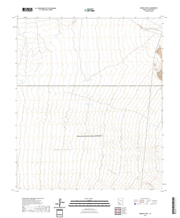
2021 Map of Armenta Well
USGS Topo · Published 2021About this map
Organ Pipe Cactus National Monument dominates the arid landscape of this Pima County quadrangle, where the expansive Valley of the Ajo meets the uplift of the Gunsight Hills. The terrain is defined by a network of seasonal drainage patterns, most notably the braided courses of Gunsight Wash, Cuerda de Lena, and Kuakatch Wash. These dry washes indicate the essential role of ephemeral water in shaping the Sonoran Desert geography. Human traces in this protected wilderness are sparse, primarily represented by administrative boundaries and the Grass Canyon Access Trl skirting the eastern edge. The map provides a detailed view of the township and range survey system, documenting the precise subdivisions of public land throughout the monument and adjacent desert floor.
Find a feature on this map
13 named features on this map. Tap any name to fly to it.
Don’t see what you’re looking for? This feature index may not catch every label — zoom into the map to look around manually.
Map Details
Editions of this 2021 Armenta Well Map
This is the sole edition of this map. No revisions or reprints were ever made.
Other maps of this area

1932 · Ajo
USGS Topo · 1:62,500

1934 · Ajo
USGS Topo · 1:62,500

1953 · Ajo
USGS Topo · 1:250,000

1957 · Ajo
USGS Topo · 1:250,000

1958 · Ajo
USGS Topo · 1:250,000

1962 · Ajo
USGS Topo · 1:250,000

1963 · Ajo
USGS Topo · 1:250,000

1963 · Ajo
USGS Topo · 1:62,500

1963 · Sikort Chuapo Mts
USGS Topo · 1:62,500

1963 · Mt. Ajo
USGS Topo · 1:62,500