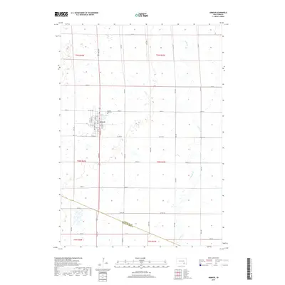
2017 Map of Armour
USGS Topo · Published 2017About this map
Armour serves as the central hub of this prairie landscape, situated near the intersection of several significant section-line roads and the southern boundary of Douglas County and Charles Mix County. The town's grid is clearly defined, with streets like Main St and Braddock St forming its core, while Depot St hints at the historical rail-based logistics of this agricultural region. To the northeast of the town center lies the Pleasant Ridge Cem, providing a focal point for genealogical interest in the local community. The eastern portion of the quadrangle is dominated by the winding path of Choteau Cr, which meanders through the township sections of t99n r63w and t98n r63w, offering a stark contrast to the rigid geometry of the surrounding farmland and the county line road.
Find a feature on this map
44 named features on this map. Tap any name to fly to it.
Don’t see what you’re looking for? This feature index may not catch every label — zoom into the map to look around manually.
Map Details
Editions of this 2017 Armour Map
This is the sole edition of this map. No revisions or reprints were ever made.
Other maps of this area

1955 · Mitchell
USGS Topo · 1:250,000

1959 · Mitchell
USGS Topo · 1:250,000

1964 · Wagner NE
USGS Topo · 1:24,000

1964 · Ravinia
USGS Topo · 1:24,000
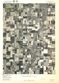
1977 · Wagner NE
USGS Topo · 1:24,000
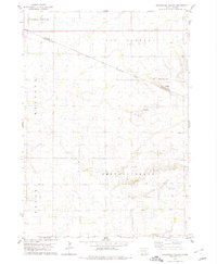
1978 · Greenwood Colony
USGS Topo · 1:24,000

1979 · Delmont
USGS Topo · 1:24,000
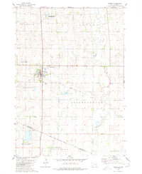
1979 · Armour
USGS Topo · 1:24,000
1979 · Armour SW
USGS Topo · 1:24,000
1979 · Hillside
USGS Topo · 1:24,000