Loading...
Loading map...2024 Map of Arnegard
USGS Topo · Published 2024About this map
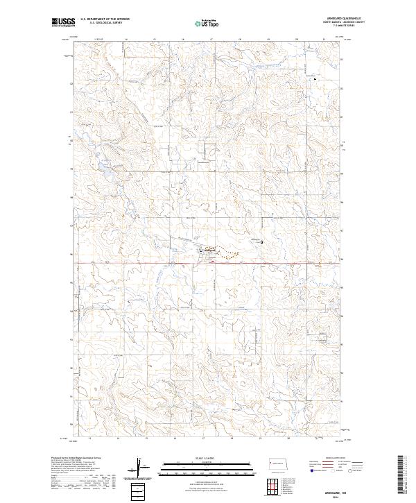
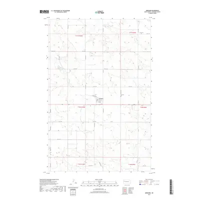
Arnegard serves as the central hub of this McKenzie County landscape, where the prairie grid is defined by a network of section roads like 133rd Ave NW and 26th St NW. The town's presence is reinforced by local landmarks including the Wilmington Cem to the east and the Arnegard Dam to the northwest, reflecting the community's reliance on water management in this high-plains environment.
Find a feature on this map
34 named features on this map. Tap any name to fly to it.
Don’t see what you’re looking for? This feature index may not catch every label — zoom into the map to look around manually.
Map Details
Date Portrayed2024
Date Published2024
PublisherU.S. Geological Survey
Map TypeTopographic
Scale1:24,000
Physical Dimensions24 x 29 inches
Editions of this 2024 Arnegard Map
This is the sole edition of this map. No revisions or reprints were ever made.
Historical Maps of Arnegard Through Time
6 maps found
Featured Locations
Source Details
SourceU.S. Geological Survey
CopyrightPublic Domain