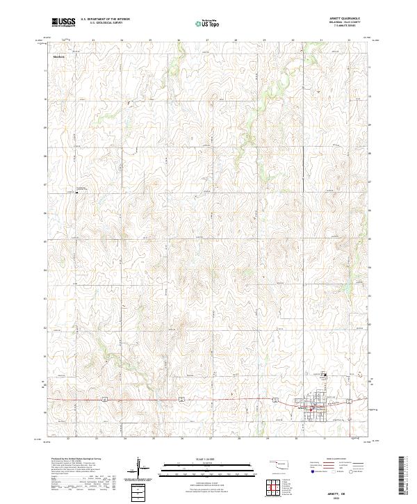
2022 Map of Arnett
USGS Topo · Published 2022About this map
Arnett stands as the primary hub of this high plains landscape, serving as the seat of local government where the Ellis County Courthouse is a central landmark. The town's grid of residential streets, including Frantz Ave and Ferguson Ave, transitions into the vast agricultural and ranching terrain characteristic of western Oklahoma. To the north, a portion of Shattuck is visible, connected by a network of sectional roads like E0530 Rd that define the region's orderly land division.
Find a feature on this map
34 named features on this map. Tap any name to fly to it.
Don’t see what you’re looking for? This feature index may not catch every label — zoom into the map to look around manually.
Map Details
Editions of this 2022 Arnett Map
This is the sole edition of this map. No revisions or reprints were ever made.
Other maps of this area

1955 · Woodward
USGS Topo · 1:250,000

1958 · Woodward
USGS Topo · 1:250,000

1969 · Fargo SW
USGS Topo · 1:24,000

1969 · Shattuck
USGS Topo · 1:24,000

1969 · Gage
USGS Topo · 1:24,000

1970 · Arnett
USGS Topo · 1:24,000

1970 · Arnett SE
USGS Topo · 1:24,000

1970 · Harmon SW
USGS Topo · 1:24,000
1970 · Arnett SW
USGS Topo · 1:24,000

1970 · Goodwin
USGS Topo · 1:24,000