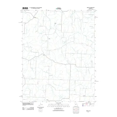
2011 Map of Arnica
USGS Topo · Published 2011About this map
Arnica and the surrounding Cedar County countryside are defined by a complex network of waterways feeding into Turkey Creek, which meanders across the southern half of the area. This 2011 survey illustrates a rural landscape where small settlements like Birdsong, Claud, and Hamlet are linked by a grid of county roads such as Co HWY Se 1150 and Rogers Hog Farm Rd. The distribution of local landmarks suggests a long-standing agricultural community, with family and community legacy preserved at Sheeks Cemetery and Simrell Cemetery. Water management and transportation are evident through features like the Number 514 Dam and the Petermen Landing Strip in the northeast. The terrain is deeply etched by numerous seasonal and permanent streams, including Price Branch, Green Spring Branch, and Silver Creek, which dictate the placement of farms and homesteads across this Missouri landscape.
Find a feature on this map
75 named features on this map. Tap any name to fly to it.
Don’t see what you’re looking for? This feature index may not catch every label — zoom into the map to look around manually.
Map Details
Editions of this 2011 Arnica Map
This is the sole edition of this map. No revisions or reprints were ever made.
Other maps of this area

1886 · Stockton
USGS Topo · 1:125,000

1938 · Roscoe
USGS Topo · 1:24,000

1938 · Vista
USGS Topo · 1:24,000

1939 · Caplinger Mills
USGS Topo · 1:24,000

1939 · Arnica
USGS Topo · 1:24,000

1940 · Roscoe
USGS Topo · 1:24,000

1940 · Vista
USGS Topo · 1:24,000

1940 · Weaubleau
USGS Topo · 1:24,000

1941 · Caplinger Mills
USGS Topo · 1:24,000

1941 · Arnica
USGS Topo · 1:24,000