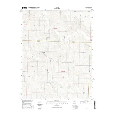
2015 Map of Arnica
USGS Topo · Published 2015About this map
Arnica and Hamlet anchor the southern reaches of this landscape, where the rolling borders of Cedar, St. Clair, and Polk counties meet. The area is defined by a dense network of small waterways, most notably the winding course of Turkey Cr and its S Fork Turkey Cr, which drain the northern slopes of the Coal Bank Hills. These hills suggest a history of local resource extraction, providing a distinct topographic break from the surrounding creek bottoms and ridges.
Find a feature on this map
87 named features on this map. Tap any name to fly to it.
Don’t see what you’re looking for? This feature index may not catch every label — zoom into the map to look around manually.
Map Details
Editions of this 2015 Arnica Map
This is the sole edition of this map. No revisions or reprints were ever made.
Other maps of this area

1886 · Stockton
USGS Topo · 1:125,000

1938 · Roscoe
USGS Topo · 1:24,000

1938 · Vista
USGS Topo · 1:24,000

1939 · Caplinger Mills
USGS Topo · 1:24,000

1939 · Arnica
USGS Topo · 1:24,000

1940 · Roscoe
USGS Topo · 1:24,000

1940 · Vista
USGS Topo · 1:24,000

1940 · Weaubleau
USGS Topo · 1:24,000

1941 · Caplinger Mills
USGS Topo · 1:24,000

1941 · Arnica
USGS Topo · 1:24,000