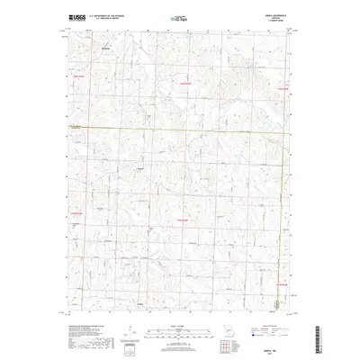
2017 Map of Arnica
USGS Topo · Published 2017About this map
Arnica sits at the southern edge of this West-Central Missouri landscape, where the Cedar County and Polk County lines meet. This territory is defined by the winding drainage of Turkey Cr, including the S Fork Turkey Cr, which carves through the terrain alongside the Coal Bank Hills. The area shows a sparse but established settlement pattern, with the small communities of Claud and Birdsong serving as local landmarks among the many creek branches such as Price Br and Silver Cr. Genealogists will find local history preserved at Sheeks Cem and Simrell Cem, both located near the intersections of the rural road network. The map illustrates a rural landscape where life and travel are still closely tied to the natural watercourses and the seasonal springs like Green Spring.
Find a feature on this map
100 named features on this map. Tap any name to fly to it.
Don’t see what you’re looking for? This feature index may not catch every label — zoom into the map to look around manually.
Map Details
Editions of this 2017 Arnica Map
This is the sole edition of this map. No revisions or reprints were ever made.
Other maps of this area

1886 · Stockton
USGS Topo · 1:125,000

1938 · Roscoe
USGS Topo · 1:24,000

1938 · Vista
USGS Topo · 1:24,000

1939 · Caplinger Mills
USGS Topo · 1:24,000

1939 · Arnica
USGS Topo · 1:24,000

1940 · Roscoe
USGS Topo · 1:24,000

1940 · Vista
USGS Topo · 1:24,000

1940 · Weaubleau
USGS Topo · 1:24,000

1941 · Caplinger Mills
USGS Topo · 1:24,000

1941 · Arnica
USGS Topo · 1:24,000