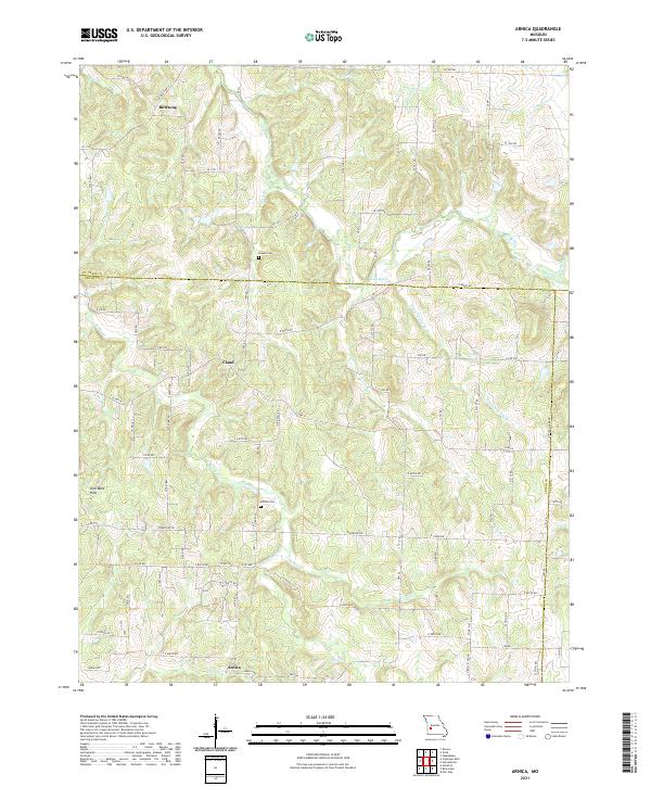
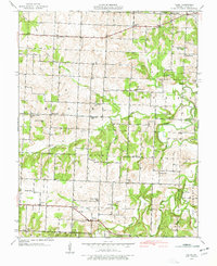
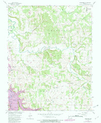
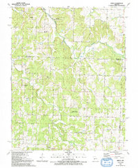
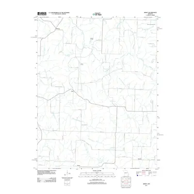
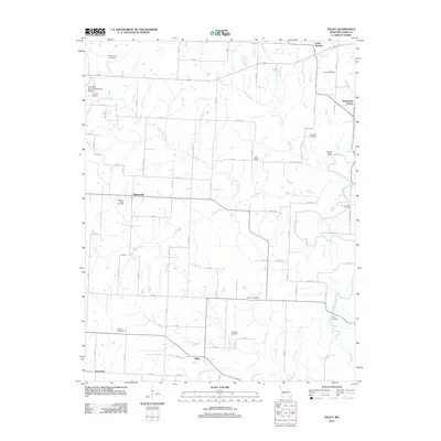
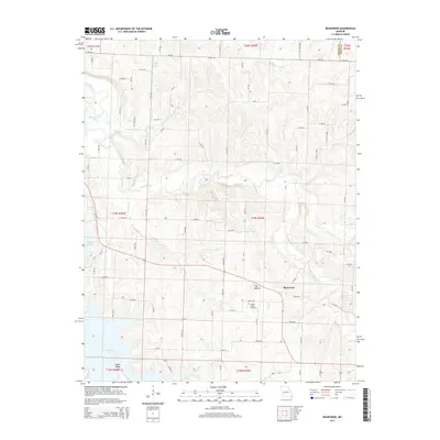
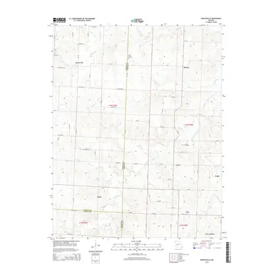
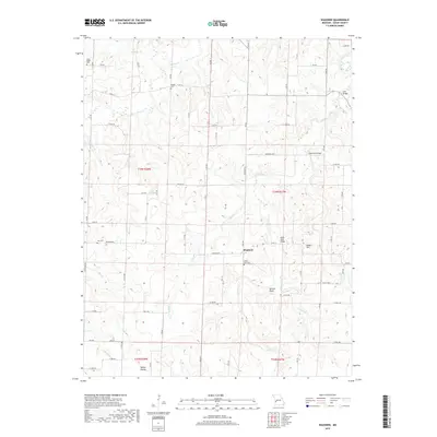
2021 Map of Arnica
USGS Topo · Published 2021About this map
Arnica and the surrounding borderlands of Cedar, St. Clair, and Polk Counties are defined by a network of rural routes and the winding tributaries of the Turkey Cr watershed. In the northern reaches, Birdsong sits near the headwaters of Bishop Br, while the central uplands are home to the small settlement of Claud. The landscape is etched with history, visible in family-named landmarks like Sheeks Cem and Simrell Cem. Significant topographic features such as the Coal Bank Hills dominate the western portion of the quadrangle, while the eastern section is drained by Green Spring Br and the north-flowing Panther Cr. The drainage patterns, including S Fork Turkey Cr and Silver Cr, illustrate the complex hydrology of this Missouri plateau before it meets larger river systems beyond these borders.
Find a feature on this map
86 named features on this map. Tap any name to fly to it.
Don’t see what you’re looking for? This feature index may not catch every label — zoom into the map to look around manually.
Map Details
Editions of this 2021 Arnica Map
This is the sole edition of this map. No revisions or reprints were ever made.
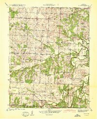
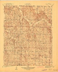
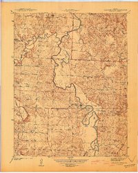
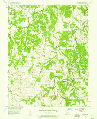
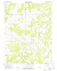
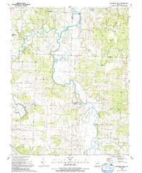
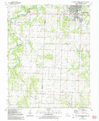
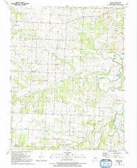
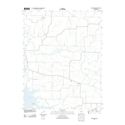
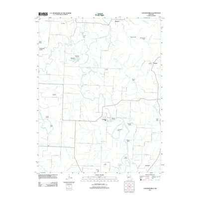
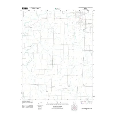
Historical Maps of Arnica Through Time
43 maps found
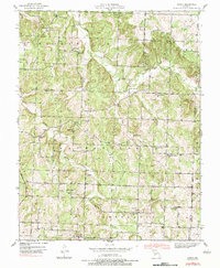
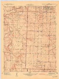
1939 Arnica
Cedar County, MO
1939 Caplinger Mills
Cedar County, MO
1939 Eldorado Springs South
Cedar County, MO
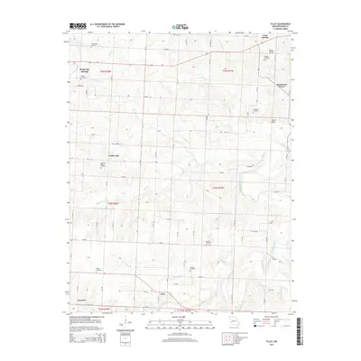
1939 Filley
Cedar County, MO
1940 Filley
Cedar County, MO
1941 Arnica
Cedar County, MO
1941 Caplinger Mills
Cedar County, MO
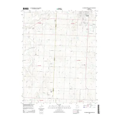
1942 Eldorado Springs South
Cedar County, MO
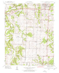
1956 Bearcreek
Cedar County, MO
1956 Wagoner
Cedar County, MO
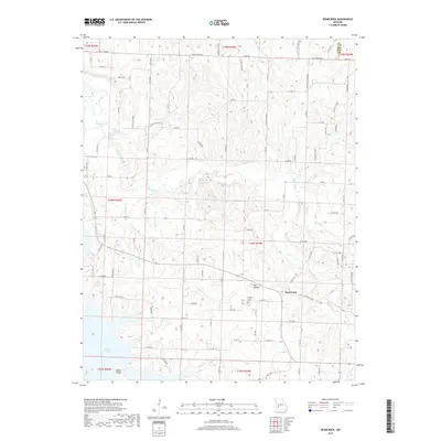
1962 Montevallo
Cedar County, MO
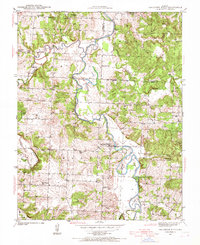
1991 Arnica
Cedar County, MO
1991 Caplinger Mills
Cedar County, MO
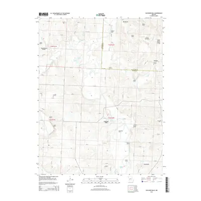
1991 El Dorado Springs South
Cedar County, MO
1991 Filley
Cedar County, MO
2011 Arnica
Cedar County, MO
2011 Bearcreek
Cedar County, MO
2011 Caplinger Mills
Cedar County, MO
2011 El Dorado Springs South
Cedar County, MO
2011 Filley
Cedar County, MO
2011 Montevallo
Cedar County, MO
2011 Wagoner
Cedar County, MO
2015 Arnica
Cedar County, MO
2015 Bearcreek
Cedar County, MO
2015 Caplinger Mills
Cedar County, MO
2015 El Dorado Springs South
Cedar County, MO
2015 Filley
Cedar County, MO
2015 Montevallo
Cedar County, MO
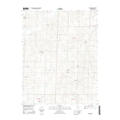
2015 Wagoner
Cedar County, MO
2017 Arnica
Cedar County, MO
2017 Bearcreek
Cedar County, MO
2017 Caplinger Mills
Cedar County, MO
2017 El Dorado Springs South
Cedar County, MO
2017 Filley
Cedar County, MO
2017 Montevallo
Cedar County, MO
2017 Wagoner
Cedar County, MO
2021 Arnica
Cedar County, MO
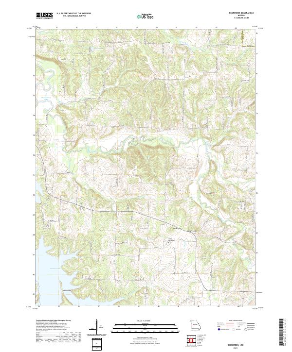
2021 Bearcreek
Cedar County, MO
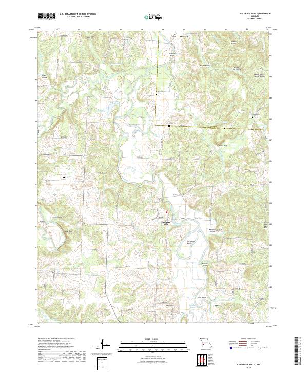
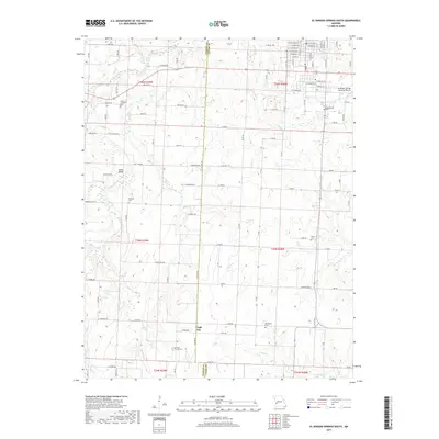
2021 Caplinger Mills
Cedar County, MO
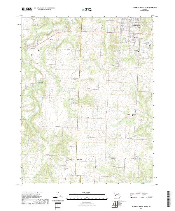
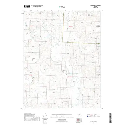
2021 El Dorado Springs South
Cedar County, MO
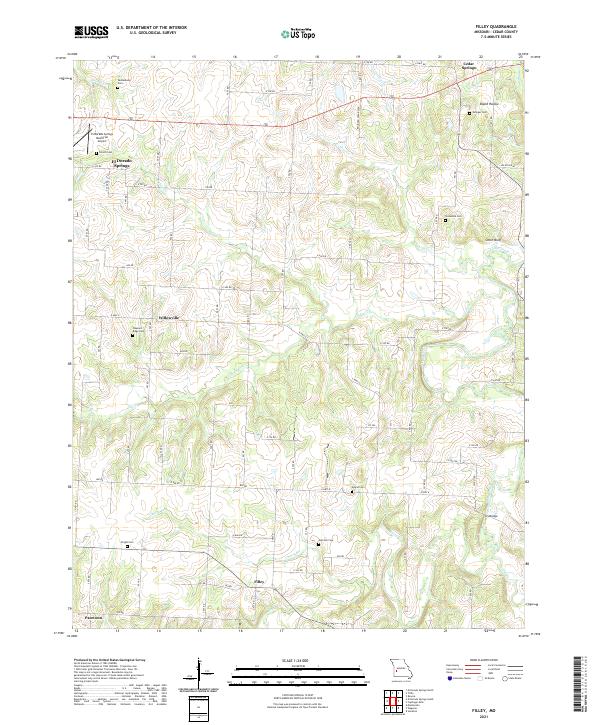
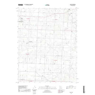
2021 Filley
Cedar County, MO
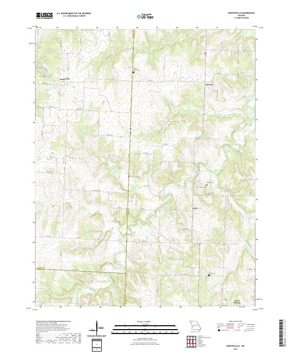
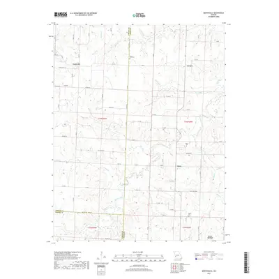
2021 Montevallo
Cedar County, MO
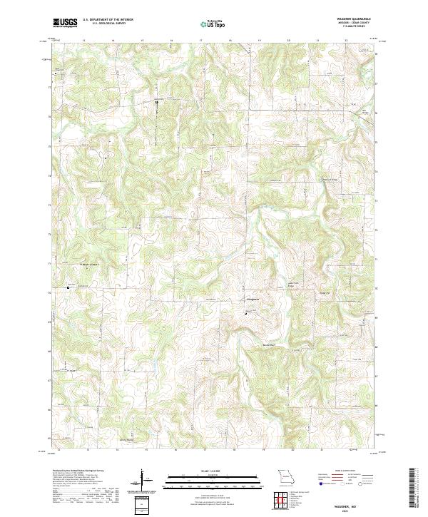
2021 Wagoner
Cedar County, MO