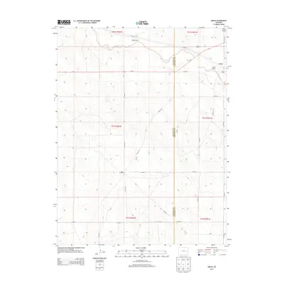
2013 Map of Aroya
USGS Topo · Published 2013About this map
Aroya and the surrounding plains on the border of Lincoln and Cheyenne counties are defined by the winding course of Big Sandy Creek. This high plains landscape is marked by the presence of family-run operations such as the J O D Ranch and Rush Creek Ranch, reflecting the enduring agricultural character of the region. The map details the local topography through named drainage features like Folger Gulch and Aroya Gulch, which cut through the terrain toward the creek. Near the settlement of Aroya, the Aroya Cemetery serves as a significant landmark for those researching family history in this corner of Colorado. The area is connected by a network of rural roads, including Co-94 and various county routes, illustrating the distribution of remote homesteads across the townships.
Find a feature on this map
31 named features on this map. Tap any name to fly to it.
Don’t see what you’re looking for? This feature index may not catch every label — zoom into the map to look around manually.
Map Details
Editions of this 2013 Aroya Map
This is the sole edition of this map. No revisions or reprints were ever made.
Other maps of this area

1891 · Arroyo
USGS Topo · 1:125,000

1893 · Arroyo
USGS Topo · 1:125,000

1954 · Lamar
USGS Topo · 1:250,000

1958 · Lamar
USGS Topo · 1:250,000

1978 · Galatea NE
USGS Topo · 1:24,000

1978 · Aroya
USGS Topo · 1:24,000

1978 · Barrel Springs Draw
USGS Topo · 1:24,000

1978 · Rock Basin
USGS Topo · 1:24,000

1978 · Sanders Ranch
USGS Topo · 1:24,000

1978 · Stacy Lakes Draw
USGS Topo · 1:24,000