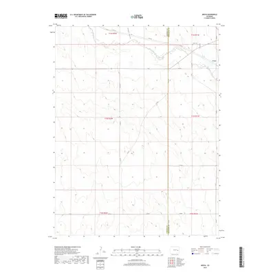
2019 Map of Aroya
USGS Topo · Published 2019About this map
Big Sandy Creek winds through the high plains landscape of the eastern Colorado borderlands, defining the drainage patterns of this sparsely populated region. The settlement of Aroya sits near the creek's edge, served by a network of county roads including Co RD T and Co RD U. This 2019 survey documents the enduring pastoral character of the area where the Lincoln Co and Cheyenne Co line divides the terrain. For those researching local lineages, the Aroya Cem is a primary landmark situated north of the main settlement near Aroya Gulch. The map's contouring illustrates the subtle breaks in elevation along Folger Gulch, providing a clear view of the ranching and agricultural grid that has shaped the high plains for generations.
Find a feature on this map
21 named features on this map. Tap any name to fly to it.
Don’t see what you’re looking for? This feature index may not catch every label — zoom into the map to look around manually.
Map Details
Editions of this 2019 Aroya Map
This is the sole edition of this map. No revisions or reprints were ever made.
Other maps of this area

1891 · Arroyo
USGS Topo · 1:125,000

1893 · Arroyo
USGS Topo · 1:125,000

1954 · Lamar
USGS Topo · 1:250,000

1958 · Lamar
USGS Topo · 1:250,000

1978 · Galatea NE
USGS Topo · 1:24,000

1978 · Aroya
USGS Topo · 1:24,000

1978 · Barrel Springs Draw
USGS Topo · 1:24,000

1978 · Rock Basin
USGS Topo · 1:24,000

1978 · Sanders Ranch
USGS Topo · 1:24,000

1978 · Stacy Lakes Draw
USGS Topo · 1:24,000