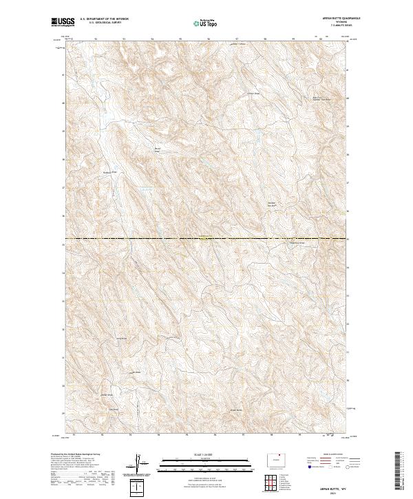
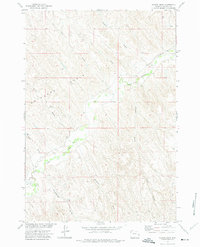
2021 Map of Arpan Butte
USGS Topo · Published 2021About this map
Arpan Butte rises above a complex network of drainage basins along the county line between Sheridan and Johnson counties. This landscape is defined by its numerous named draws, such as Redman Draw, Devoe Draw, and Keathley Draw, which channel water toward the Thompson Cr and Cottonwood Cr systems. The ranching and resource-based character of the region is evident in the presence of the Bill Yates Reservoir and the essential rural infrastructure provided by Thompson Creek Rd and Co Rd 219. These features reflect a late twentieth and early twenty-first-century reliance on seasonal water management and improved access roads to navigate the undulating terrain of the Powder River Basin area.
Find a feature on this map
26 named features on this map. Tap any name to fly to it.
Don’t see what you’re looking for? This feature index may not catch every label — zoom into the map to look around manually.
Map Details
Editions of this 2021 Arpan Butte Map
This is the sole edition of this map. No revisions or reprints were ever made.
Other maps of this area

1955 · Sheridan
USGS Topo · 1:250,000

1958 · Sheridan
USGS Topo · 1:250,000

1962 · Sheridan
USGS Topo · 1:250,000
1971 · Clearmont
USGS Topo · 1:24,000

1971 · Arvada
USGS Topo · 1:24,000

1971 · Leiter
USGS Topo · 1:24,000
1971 · Julio Draw
USGS Topo · 1:24,000

1972 · Mitchell Draw
USGS Topo · 1:24,000
1972 · Jewell Draw
USGS Topo · 1:24,000
1972 · Floate Draw
USGS Topo · 1:24,000