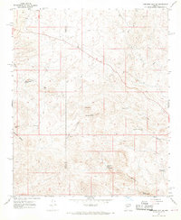
1967 Map of Arrastra Mtn NE
USGS Topo · Published 1969About this map
Placeritas sits at the heart of this high-desert landscape, where the Mohave and Yavapai county line bisects the rugged terrain of the Poachie Range. The 1960s survey reveals a network of water sources essential for survival in this arid region, from Negro Ben Spring to Lower McGregor Spring. The Presence of the Dunlap Mine and various unlabeled workings near Arrastra Mtn suggests a persistent interest in mineral extraction, typical of the Arizona uplands.
Find a feature on this map
23 named features on this map. Tap any name to fly to it.
Don’t see what you’re looking for? This feature index may not catch every label — zoom into the map to look around manually.
Map Details
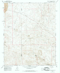
Editions of this 1967 Arrastra Mtn NE Map
2 editions found
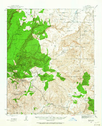
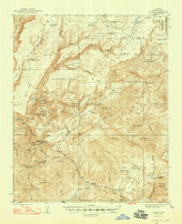
Other maps of this area

1923 · Signal
USGS Topo · 1:250,000

1942 · Signal
USGS Topo · 1:250,000
1945 · Bagdad
USGS Topo · 1:62,500
1948 · Bagdad
USGS Topo · 1:62,500

1950 · Prescott
USGS Topo · 1:250,000

1954 · Prescott
USGS Topo · 1:250,000

1958 · Prescott
USGS Topo · 1:250,000

1959 · Prescott
USGS Topo · 1:250,000

1960 · Prescott
USGS Topo · 1:250,000

1965 · Prescott
USGS Topo · 1:250,000