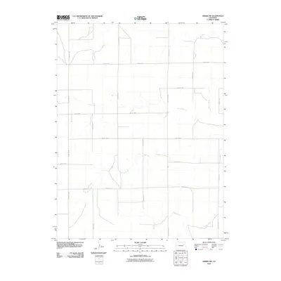
2010 Map of Arriba NW
USGS Topo · Published 2010About this map
The Arikaree River meanders across this high plains landscape of eastern Colorado, defining the natural drainage pattern of a region dominated by vast agricultural sections and cattle ranching. This 2010 survey shows a meticulously organized grid of section lines and rural thoroughfares such as County Rd-109 and County Rd-3X, which facilitate movement across the open range. Several intermittent waterways, including Lickdab Creek and Dugout Creek, carve subtle depressions through the terrain, while Currie Creek flows through the western portion of the quadrangle. The lack of concentrated settlements reflects the sparse, rural nature of this portion of Lincoln County, where the economy remains tied to the land and the seasonal flow of its prairie rivers.
Find a feature on this map
17 named features on this map. Tap any name to fly to it.
Don’t see what you’re looking for? This feature index may not catch every label — zoom into the map to look around manually.
Map Details
Editions of this 2010 Arriba NW Map
This is the sole edition of this map. No revisions or reprints were ever made.
Other maps of this area

1891 · Limon
USGS Topo · 1:125,000

1892 · Limon
USGS Topo · 1:125,000

1954 · Limon
USGS Topo · 1:250,000

1957 · Limon
USGS Topo · 1:250,000

1958 · Limon
USGS Topo · 1:250,000

1973 · Lusto Springs
USGS Topo · 1:24,000

1973 · Lindon SW
USGS Topo · 1:24,000

1973 · Shaw
USGS Topo · 1:24,000

1979 · Arriba NW
USGS Topo · 1:24,000

1979 · Arriba
USGS Topo · 1:24,000