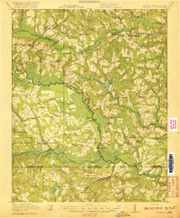
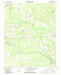
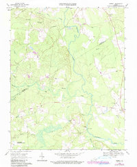
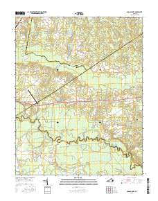
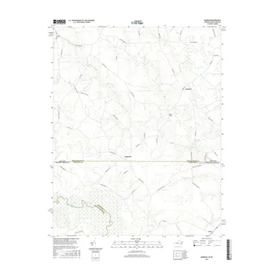
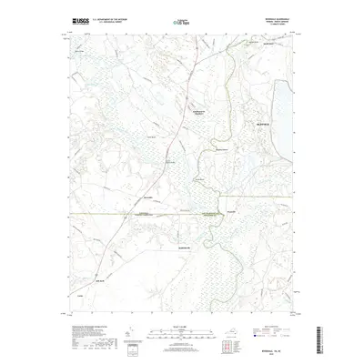
1920 Map of Arringdale
USGS Topo · Published 1920About this map
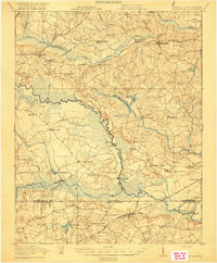
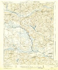
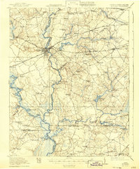
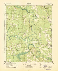
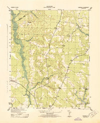
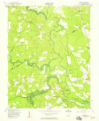
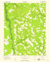
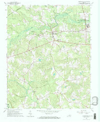
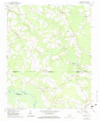
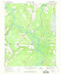
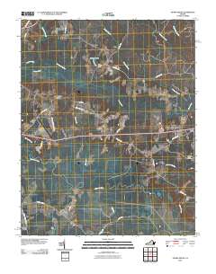
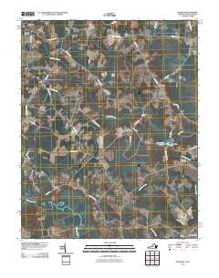
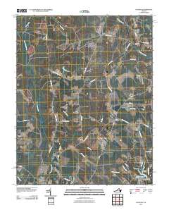
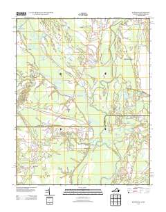
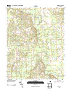
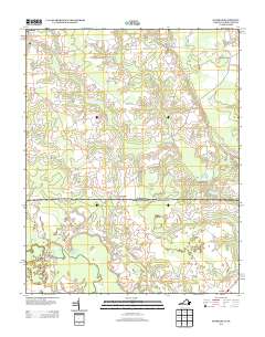
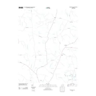
The Meherrin River serves as the central artery for this borderland between Virginia and North Carolina, winding through a landscape of dense swamps and scattered agrarian settlements. The 1918 survey documents a region defined by its waterway crossings and small rural centers, including Arringdale and Branchville. Evidence of shifting transportation is visible in the Old Railroad Grade north of Haleys Bridge, which sits alongside active corridors like the Seaboard Air Line and the Norfolk and Danville Line. Numerous community institutions are recorded, from the Rising Star School and Holly Square School to Morris Hill Church. The topography is notably flat, dominated by extensive drainage systems such as Buckhorn Swamp and Cypress Swamp, which supported local industry at sites like Taylors Millpond and Jordans Mill.
Find a feature on this map
64 named features on this map. Tap any name to fly to it.
Don’t see what you’re looking for? This feature index may not catch every label — zoom into the map to look around manually.
Map Details
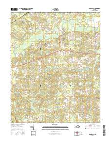
Editions of this 1920 Arringdale Map
3 editions found
Historical Maps of Branchville Through Time
48 maps found

1919 Arringdale
Southampton County, VA
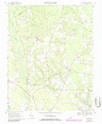
1920 Arringdale
Southampton County, VA
1920 Holland
Southampton County, VA

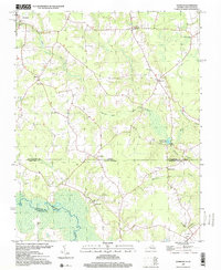
1942 Arringdale
Southampton County, VA

1943 Holland
Southampton County, VA
1943 Sebrell
Southampton County, VA
1943 Vicksville
Southampton County, VA

1957 Holland
Southampton County, VA
1957 Sebrell
Southampton County, VA
1957 Vicksville
Southampton County, VA
1966 Adams Grove
Southampton County, VA
1966 Drewryville
Southampton County, VA
1966 Sunbeam
Southampton County, VA
1967 Riverdale
Southampton County, VA
1968 Sebrell
Southampton County, VA
1969 Vicksville
Southampton County, VA
1985 Norfolk
Southampton County, VA
1997 Sunbeam
Southampton County, VA
2010 Adams Grove
Southampton County, VA
2010 Drewryville
Southampton County, VA
2010 Riverdale
Southampton County, VA
2010 Sebrell
Southampton County, VA
2010 Sunbeam
Southampton County, VA
2010 Vicksville
Southampton County, VA
2013 Adams Grove
Southampton County, VA
2013 Drewryville
Southampton County, VA
2013 Riverdale
Southampton County, VA
2013 Sebrell
Southampton County, VA
2013 Sunbeam
Southampton County, VA
2013 Vicksville
Southampton County, VA
2016 Adams Grove
Southampton County, VA
2016 Drewryville
Southampton County, VA
2016 Riverdale
Southampton County, VA
2016 Sebrell
Southampton County, VA
2016 Sunbeam
Southampton County, VA
2016 Vicksville
Southampton County, VA
2019 Adams Grove
Southampton County, VA
2019 Drewryville
Southampton County, VA
2019 Riverdale
Southampton County, VA
2019 Sebrell
Southampton County, VA
2019 Sunbeam
Southampton County, VA
2019 Vicksville
Southampton County, VA
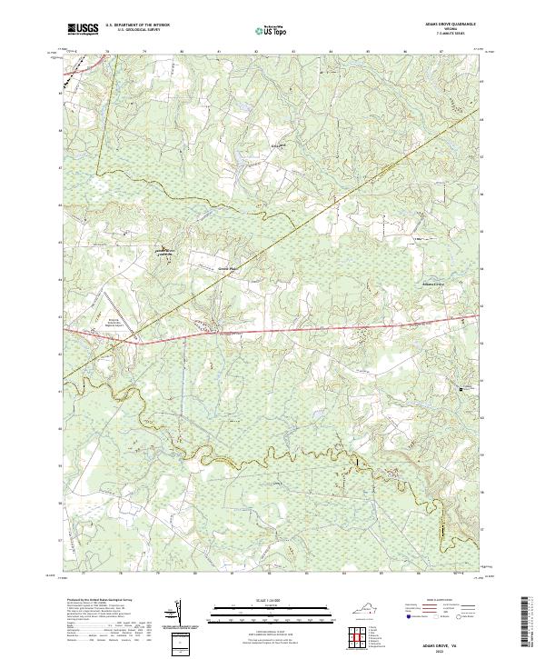
2022 Adams Grove
Southampton County, VA
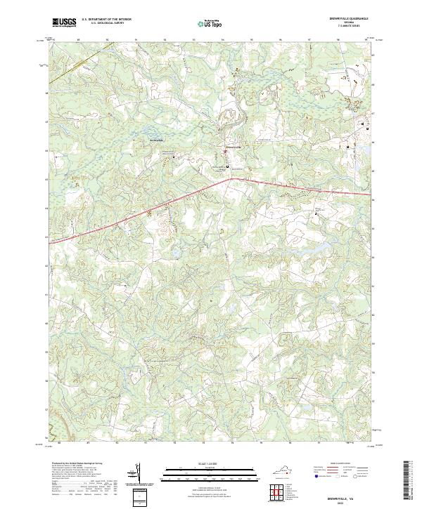
2022 Drewryville
Southampton County, VA
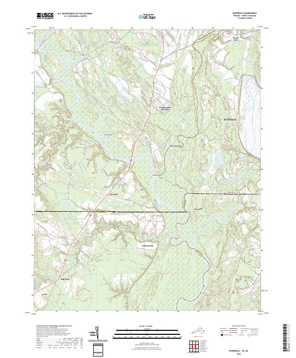
2022 Riverdale
Southampton County, VA
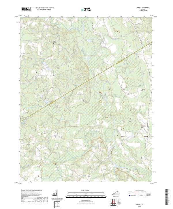
2022 Sebrell
Southampton County, VA
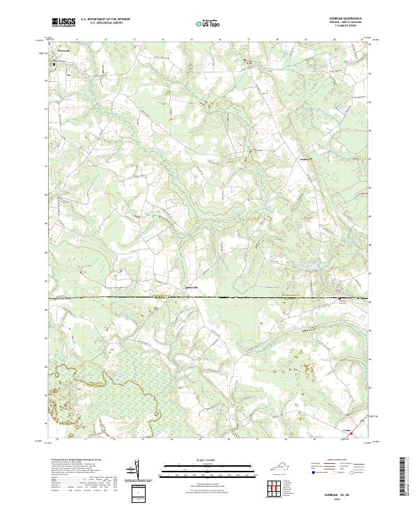
2022 Sunbeam
Southampton County, VA
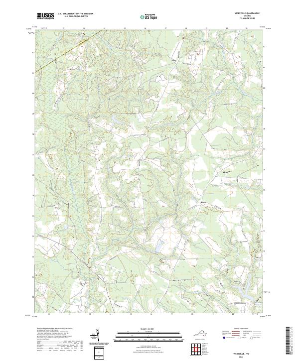
2022 Vicksville
Southampton County, VA