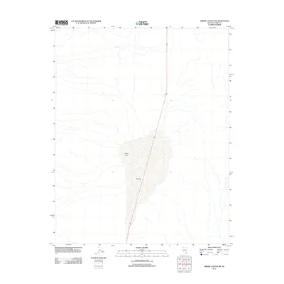
2012 Map of Arrow Canyon SW
USGS Topo · Published 2012About this map
Hidden Valley and the expansive basin of Dry Lake define this arid landscape within Clark County. This 2012 survey by the U.S. Geological Survey illustrates a stark desert environment where topographic contours trace the gradual descent into the lake bed. A primary corridor for travel is established by Highway 93, which bisects the valley floor from north to south. The map provides a clear record of the area's natural drainage patterns and the isolated character of the terrain before further infrastructure or development might alter the basin's floor. The minimalist settlement pattern shown here emphasizes the dominance of the basin and range geology characteristic of this portion of Nevada.
Find a feature on this map
3 named features on this map. Tap any name to fly to it.
Don’t see what you’re looking for? This feature index may not catch every label — zoom into the map to look around manually.
Map Details
Editions of this 2012 Arrow Canyon SW Map
This is the sole edition of this map. No revisions or reprints were ever made.
Other maps of this area

1886 · Saint Thomas
USGS Topo · 1:250,000

1893 · Saint Thomas
USGS Topo · 1:250,000

1907 · Las Vegas
USGS Topo · 1:250,000

1908 · Las Vegas
USGS Topo · 1:250,000

1926 · Boulder Canyon
USGS Topo · 1:96,000

1945 · Sheep Range
USGS Topo · 1:125,000

1952 · Gass Peak
USGS Topo · 1:62,500

1952 · Dry Lake
USGS Topo · 1:62,500

1954 · Las Vegas
USGS Topo · 1:250,000

1957 · Las Vegas
USGS Topo · 1:250,000