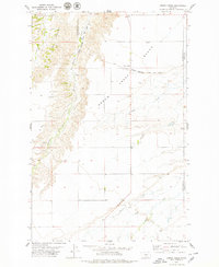
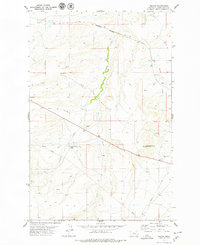
1979 Map of Arrow Creek
USGS Topo · Published 1979About this map
The Badlands dominate the western portion of this Central Montana landscape, where intricate drainage patterns have carved deeply into the terrain. The Chicago Milwaukee St Paul and Pacific railroad cuts across the upper section of the quadrangle, following the higher ground of the Bench north of the primary watercourse. This alignment reflects the strategic engineering of the early twentieth century, positioning rail infrastructure to avoid the more volatile erosional areas while servicing the high plains agricultural plateau.
Find a feature on this map
16 named features on this map. Tap any name to fly to it.
Don’t see what you’re looking for? This feature index may not catch every label — zoom into the map to look around manually.
Map Details
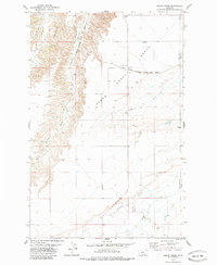
Editions of this 1979 Arrow Creek Map
2 editions found
Other maps of this area

1890 · Fort Benton
USGS Topo · 1:250,000

1892 · Fort Benton
USGS Topo · 1:250,000

1897 · Fort Benton
USGS Topo · 1:250,000

1954 · Great Falls
USGS Topo · 1:250,000

1957 · Great Falls
USGS Topo · 1:250,000
1978 · Stanford NE
USGS Topo · 1:24,000
1978 · Strouf Island
USGS Topo · 1:24,000

1978 · Leiberg Coulee
USGS Topo · 1:24,000
1978 · Merino
USGS Topo · 1:24,000
1978 · Stanford
USGS Topo · 1:24,000