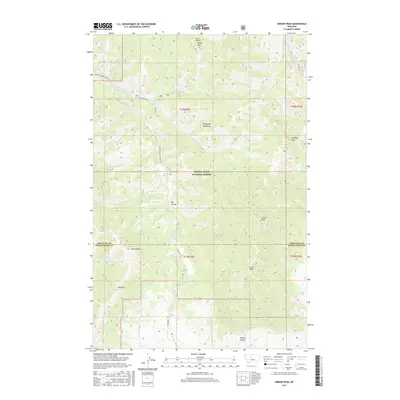
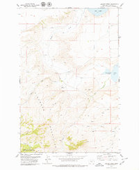
2017 Map of Arrow Peak
USGS Topo · Published 2017About this map
The Highwood Mountains dominate the landscape of this 2017 topographic survey, marking the intersection of Chouteau and Judith Basin counties. Within the Lewis & Clark National Forest, the terrain rises to several prominent summits, including Arrow Peak, Lava Peak, and Prospect Peak. This high-altitude drainage basin is defined by a complex network of waterways such as N Fork Highwood Cr and Arrow Cr, which flow through steep canyons like Big Coulee.
Find a feature on this map
44 named features on this map. Tap any name to fly to it.
Don’t see what you’re looking for? This feature index may not catch every label — zoom into the map to look around manually.
Map Details
Editions of this 2017 Arrow Peak Map
This is the sole edition of this map. No revisions or reprints were ever made.
Other maps of this area

1890 · Fort Benton
USGS Topo · 1:250,000

1892 · Fort Benton
USGS Topo · 1:250,000

1897 · Fort Benton
USGS Topo · 1:250,000

1954 · Great Falls
USGS Topo · 1:250,000

1957 · Great Falls
USGS Topo · 1:250,000

1978 · Arrow Peak
USGS Topo · 1:24,000
1978 · Byrne Creek
USGS Topo · 1:24,000
1979 · Palisade Butte
USGS Topo · 1:24,000
1979 · Carter Mountain
USGS Topo · 1:24,000
1979 · Lepleys Creek
USGS Topo · 1:24,000