
1978 Map of Arrow Peak
USGS Topo · Published 1979About this map
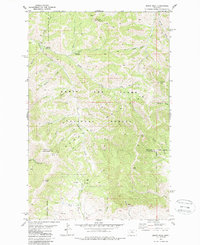
Arrow Peak and the surrounding high country of the Lewis and Clark National Forest dominate this late 1970s study of the Highwood Mountains. The map details a landscape defined by significant elevation changes between summits like Lava Peak and North Peak, and the drainage systems of Thain Creek and Arrow Creek. Human presence is marked by isolated outposts such as the Highwood Guard Sta and small named locales including Briggs, Everly, and Loberg.
Find a feature on this map
37 named features on this map. Tap any name to fly to it.
Don’t see what you’re looking for? This feature index may not catch every label — zoom into the map to look around manually.
Map Details
Editions of this 1978 Arrow Peak Map
2 editions found
Other maps of this area

1890 · Fort Benton
USGS Topo · 1:250,000

1892 · Fort Benton
USGS Topo · 1:250,000

1897 · Fort Benton
USGS Topo · 1:250,000

1954 · Great Falls
USGS Topo · 1:250,000

1957 · Great Falls
USGS Topo · 1:250,000
1978 · Byrne Creek
USGS Topo · 1:24,000
1979 · Palisade Butte
USGS Topo · 1:24,000
1979 · Carter Mountain
USGS Topo · 1:24,000
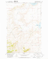
1979 · Lepleys Creek
USGS Topo · 1:24,000
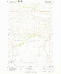
1979 · Geyser
USGS Topo · 1:24,000