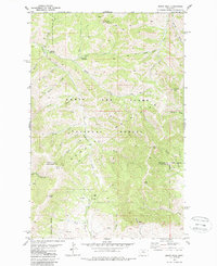
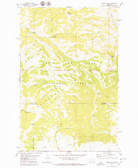
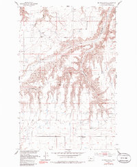
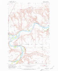
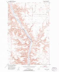
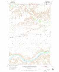
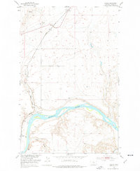
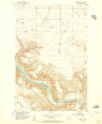
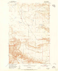
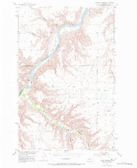
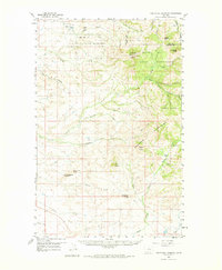
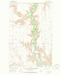
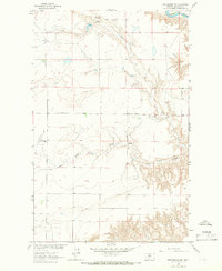
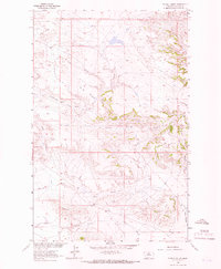
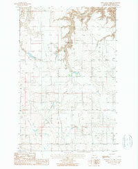
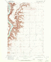
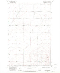
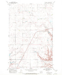
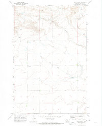
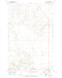
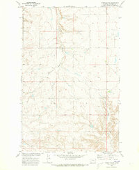
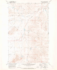
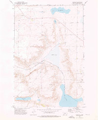
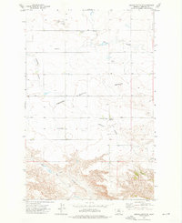
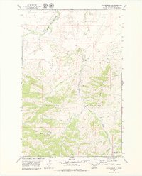
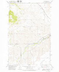
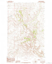
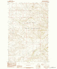
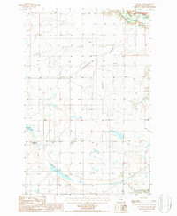
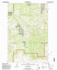
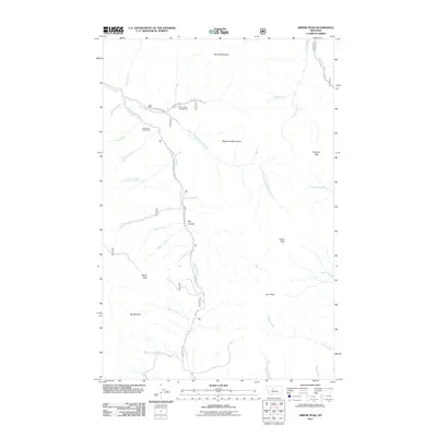
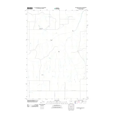
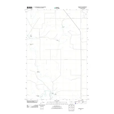
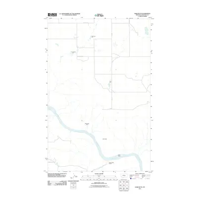
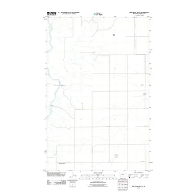
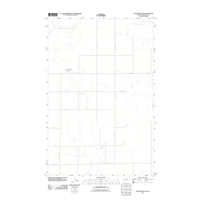
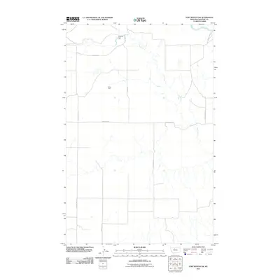
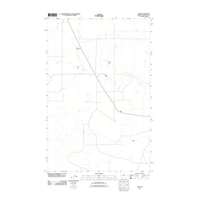
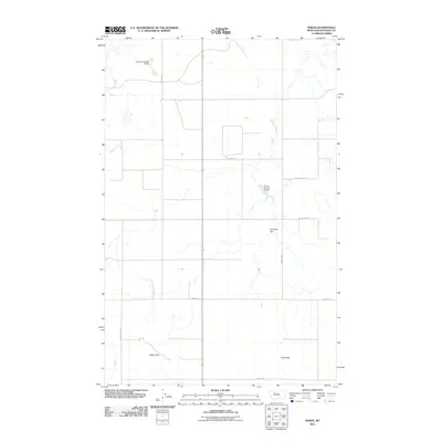
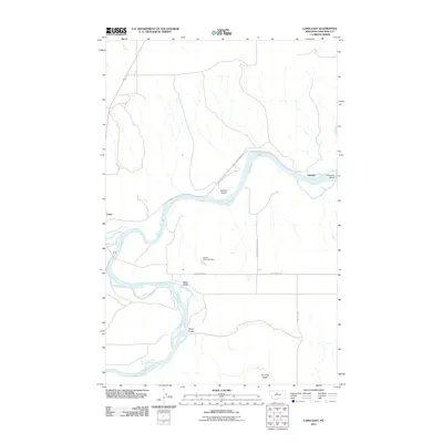
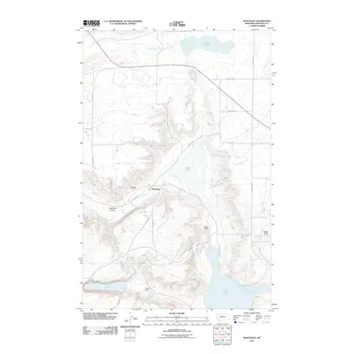
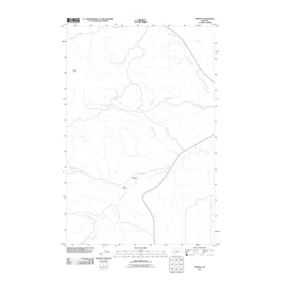
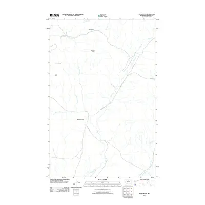
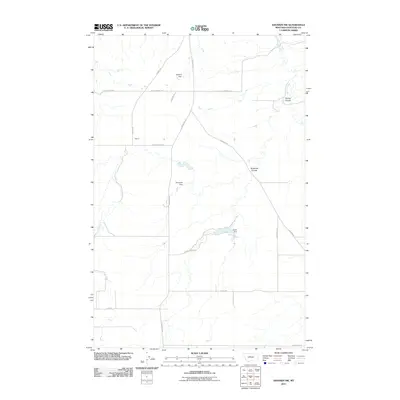
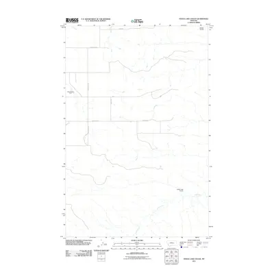
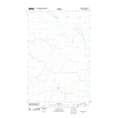
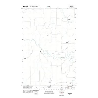
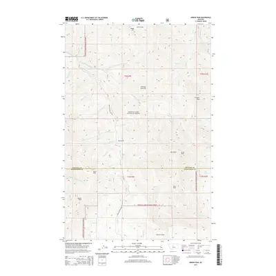
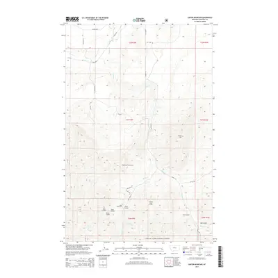
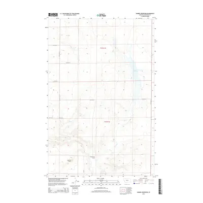
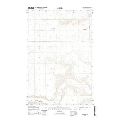
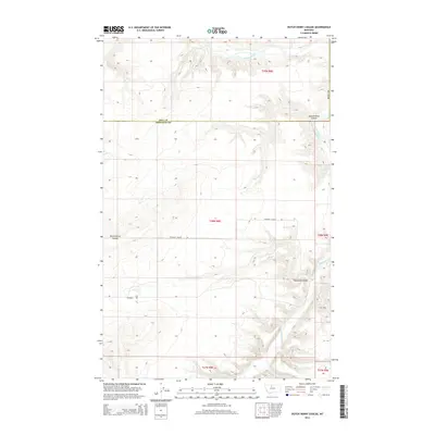
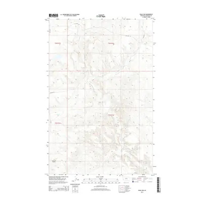
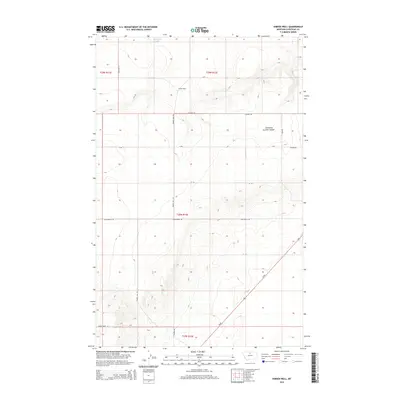
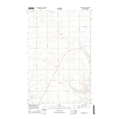
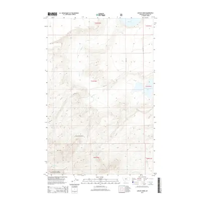
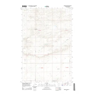
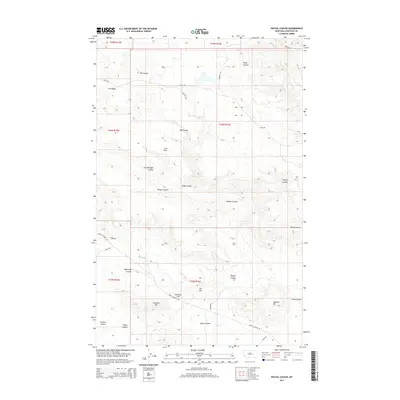
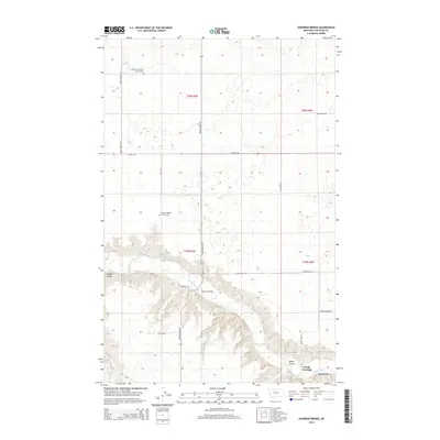
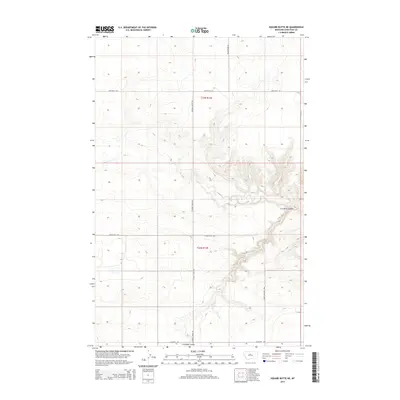
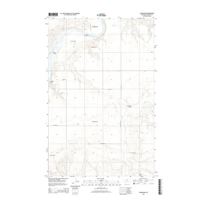
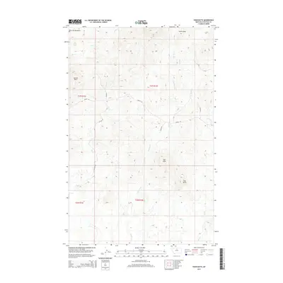
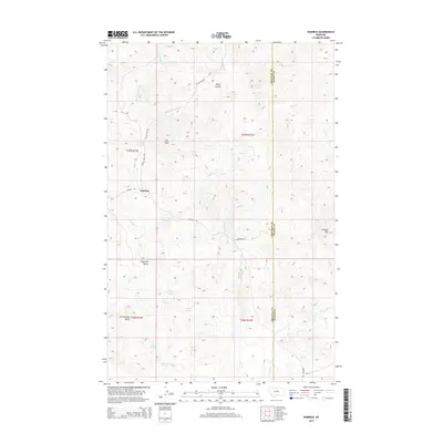
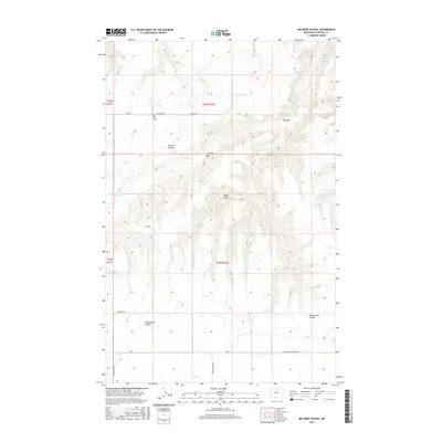
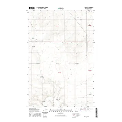
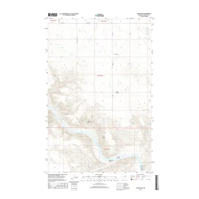
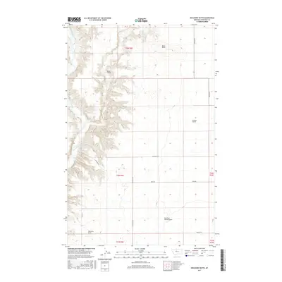
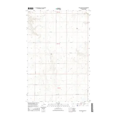
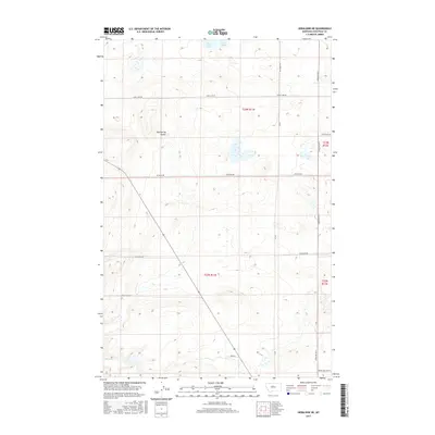
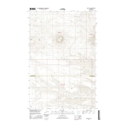
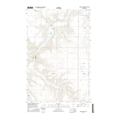
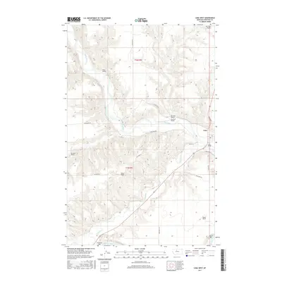
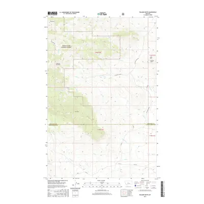
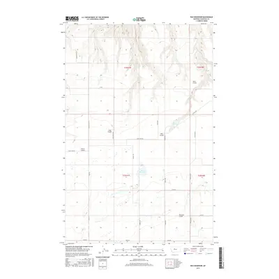
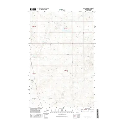
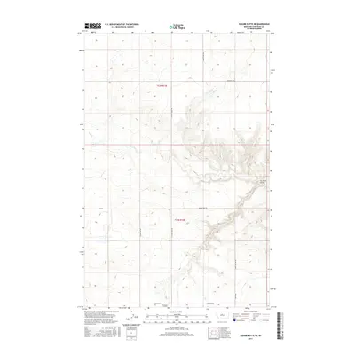
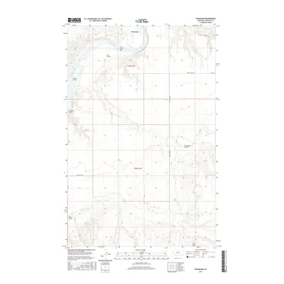
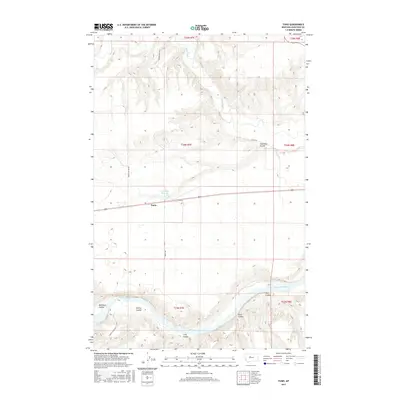
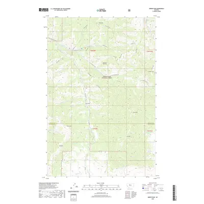
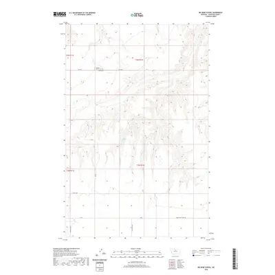
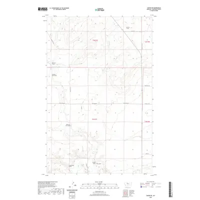
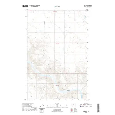
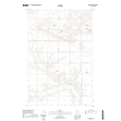
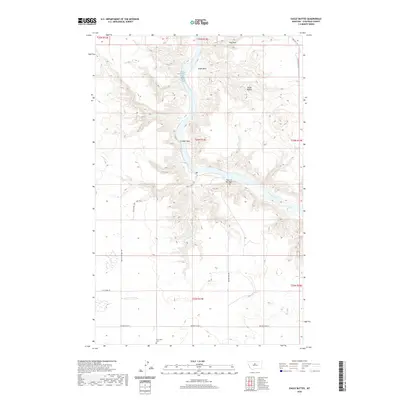
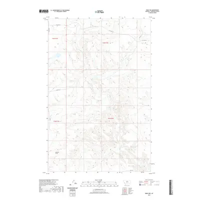
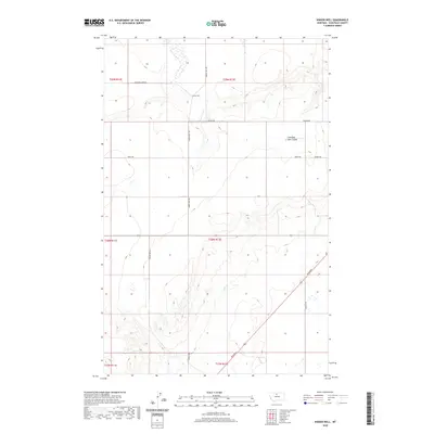
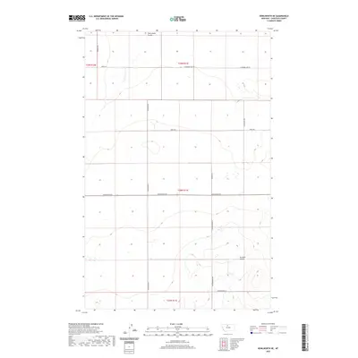
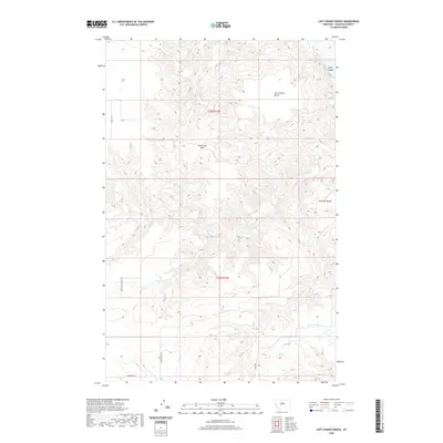
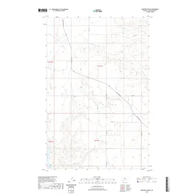
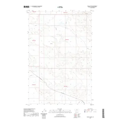
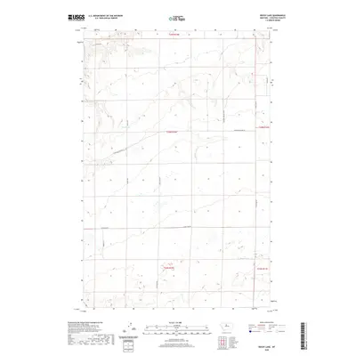
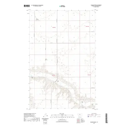
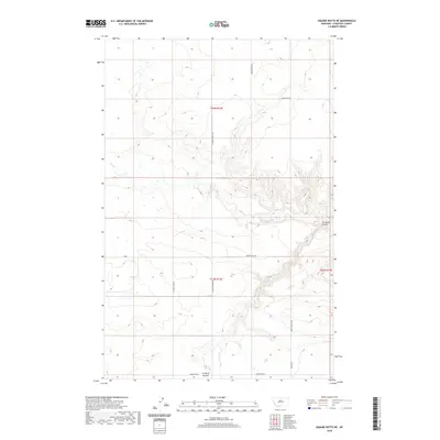
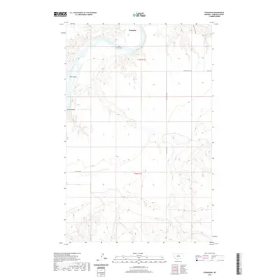
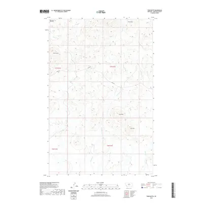
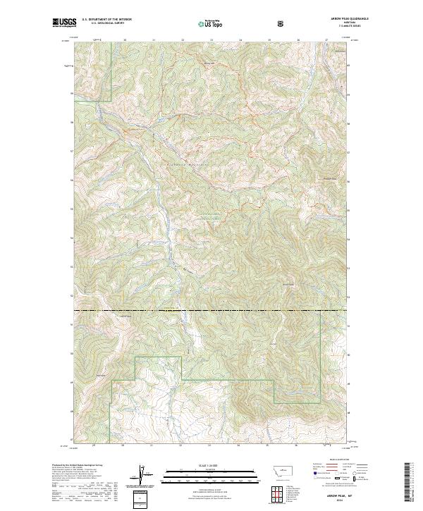
1978 Map of Arrow Peak
USGS Topo · Published 1987About this map
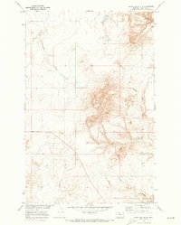
The Lewis and Clark Mountains dominate this 1970s landscape, where the high-altitude terrain of the Lewis and Clark National Forest transitions across the Chouteau and Judith Basin county line. This era of the forest is characterized by remote outposts and seasonal encampments rather than established towns. The Highwood Guard Sta and Thair Creek Campground serve as the primary human touchpoints within a complex network of drainage basins.
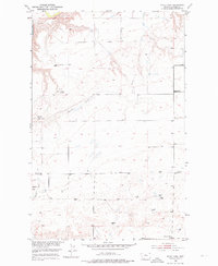
Find a feature on this map
37 named features on this map. Tap any name to fly to it.
Don’t see what you’re looking for? This feature index may not catch every label — zoom into the map to look around manually.
Map Details
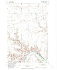
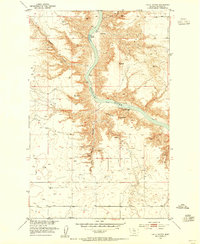
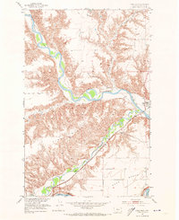
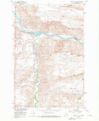
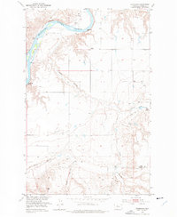
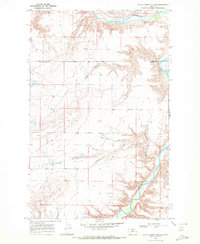
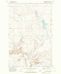
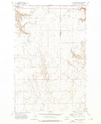
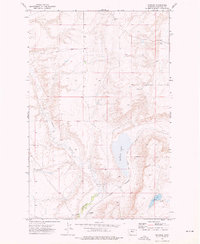
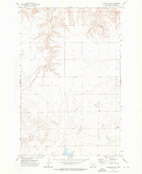
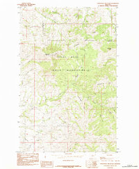
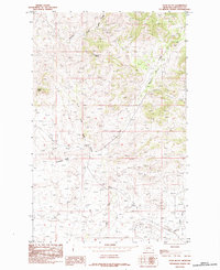
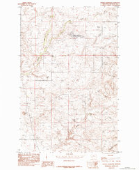
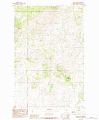
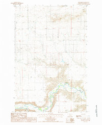
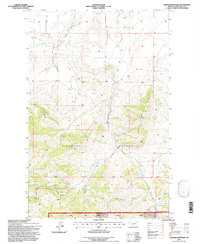
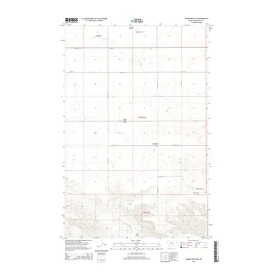
Editions of this 1978 Arrow Peak Map
2 editions found
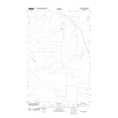
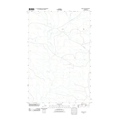
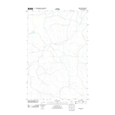
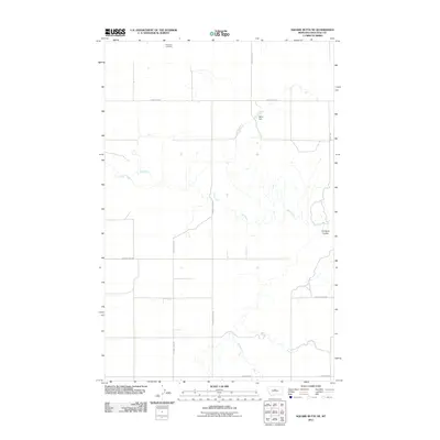
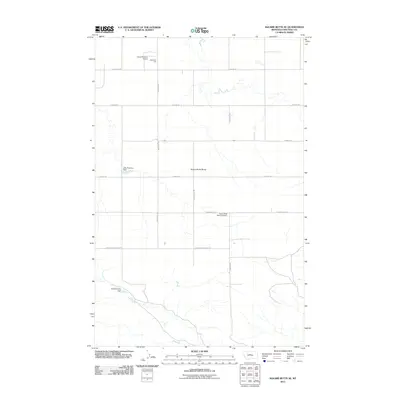
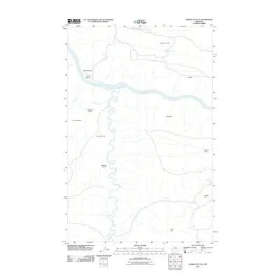
Historical Maps of Chouteau County Through Time
431 maps found
1949 Timber Coulee
Chouteau County, MT
1950 Dent Bridge
Chouteau County, MT

1950 Timber Coulee
Chouteau County, MT
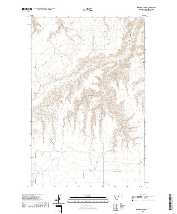
1953 Big Bend School
Chouteau County, MT
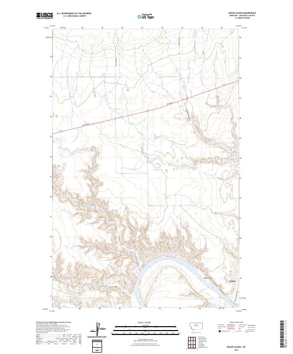
1953 Boggs Island
Chouteau County, MT
1953 Eagle Buttes
Chouteau County, MT
1953 Last Chance Bench
Chouteau County, MT
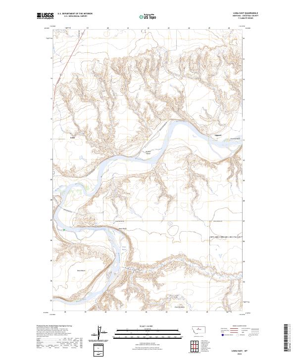
1953 Loma East
Chouteau County, MT
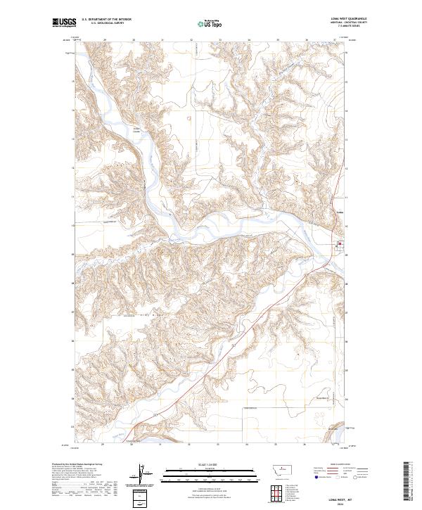
1953 Loma West
Chouteau County, MT
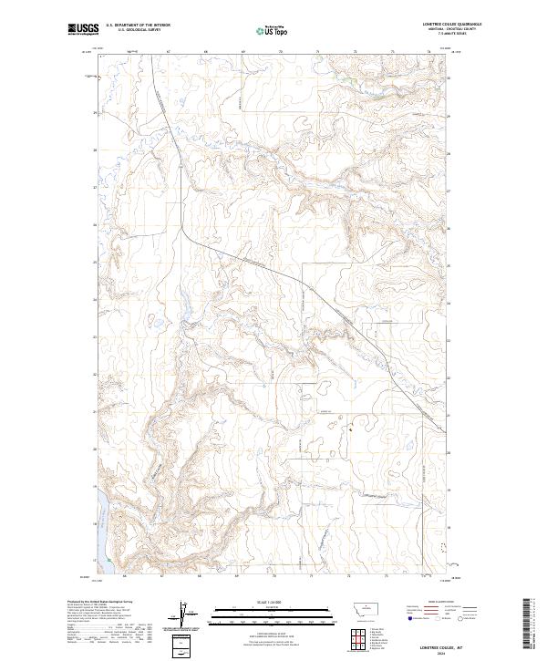
1953 Lonetree Coulee
Chouteau County, MT
1953 O'Hanlon Coulee
Chouteau County, MT
1953 Pilot Rock
Chouteau County, MT
1953 Rocky Lake
Chouteau County, MT
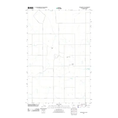
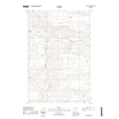
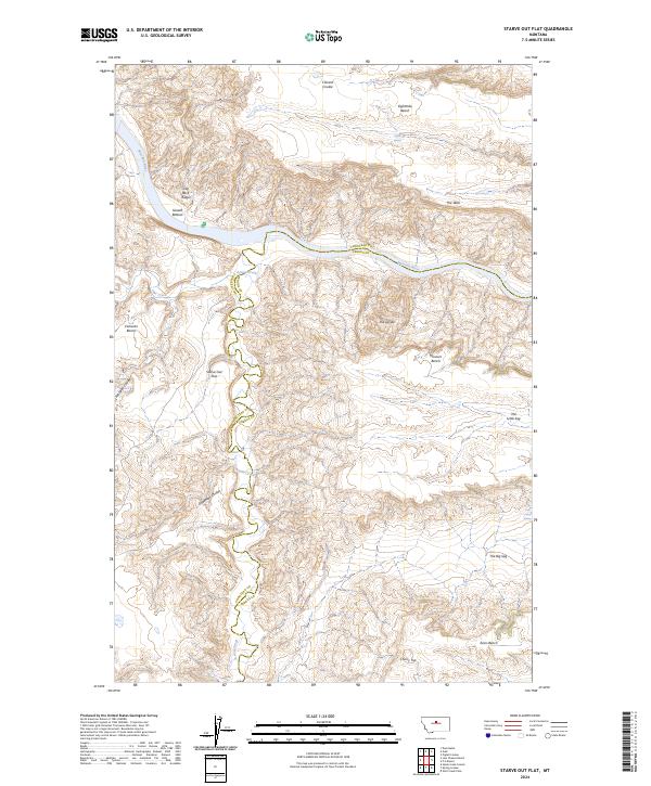
1953 Starve Out Flat
Chouteau County, MT
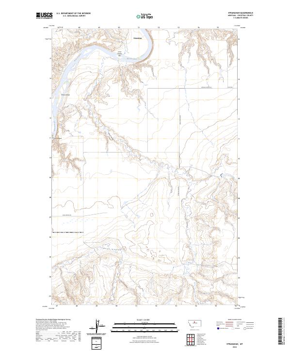
1953 Stranahan
Chouteau County, MT
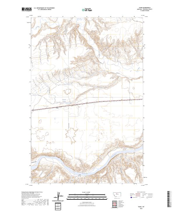
1953 Tunis
Chouteau County, MT
1953 Verona
Chouteau County, MT
1954 Dark Butte
Chouteau County, MT
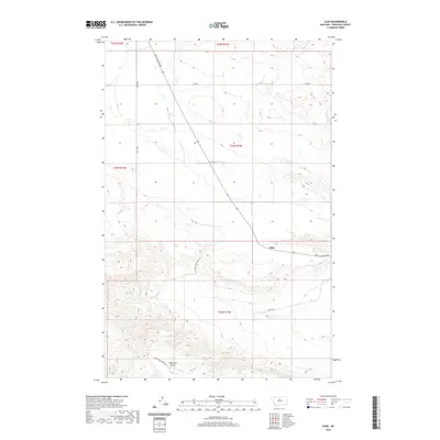
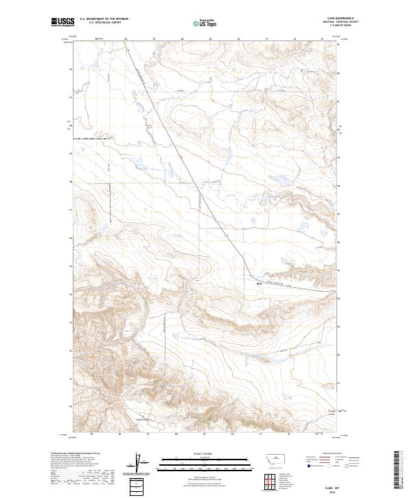
1954 Iliad
Chouteau County, MT
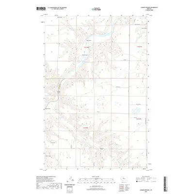
1954 Lander Crossing
Chouteau County, MT
1954 Rice Reservoir
Chouteau County, MT
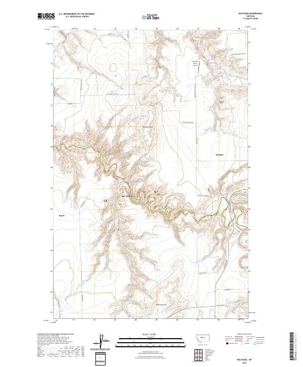
1954 Waltham
Chouteau County, MT
1958 Collins Ranch
Chouteau County, MT
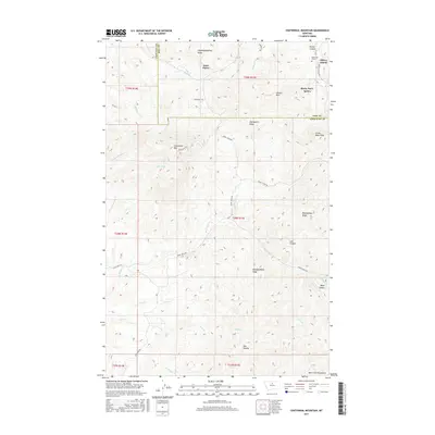
1959 Centennial Mountain
Chouteau County, MT
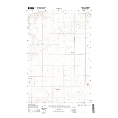
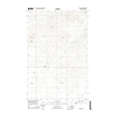
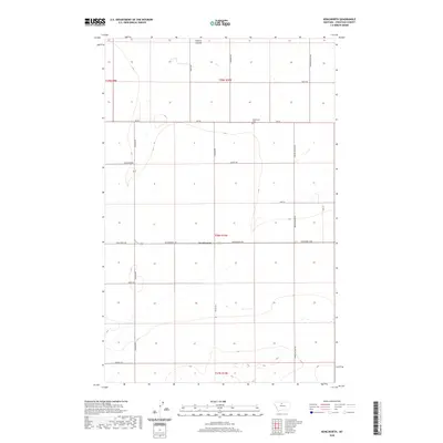
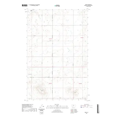
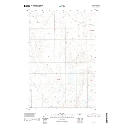
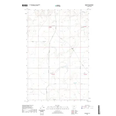
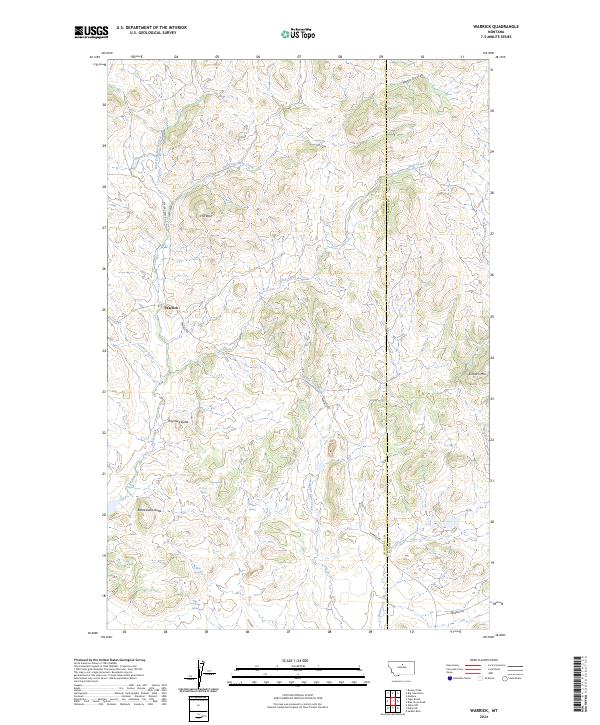
1959 Warrick
Chouteau County, MT
1964 Chase Hill
Chouteau County, MT
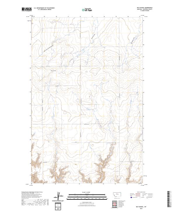
1964 Day School
Chouteau County, MT
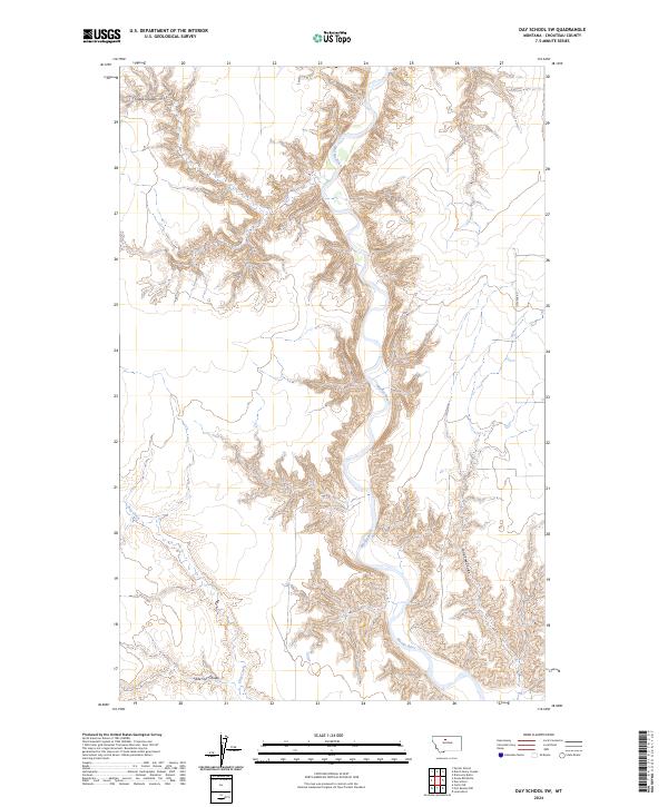
1964 Day School SW
Chouteau County, MT
1964 Fort Benton NW
Chouteau County, MT
1964 Pigtail Coulee
Chouteau County, MT
1965 Sheep Coulee Spring
Chouteau County, MT
1969 Discovery Butte
Chouteau County, MT
1969 Dutch Henry Coulee
Chouteau County, MT
1969 Ihmsen Well
Chouteau County, MT
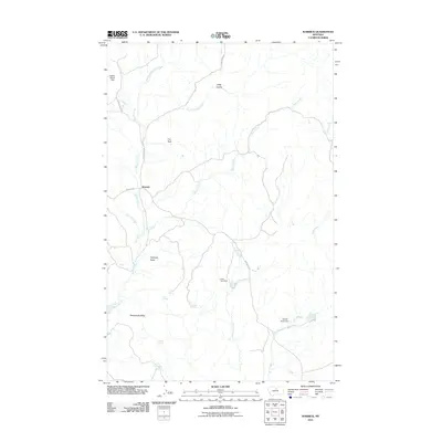
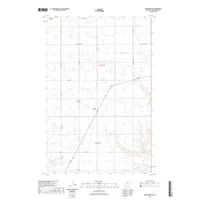
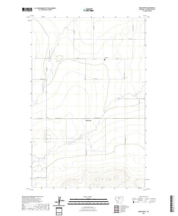
1969 Kenilworth
Chouteau County, MT
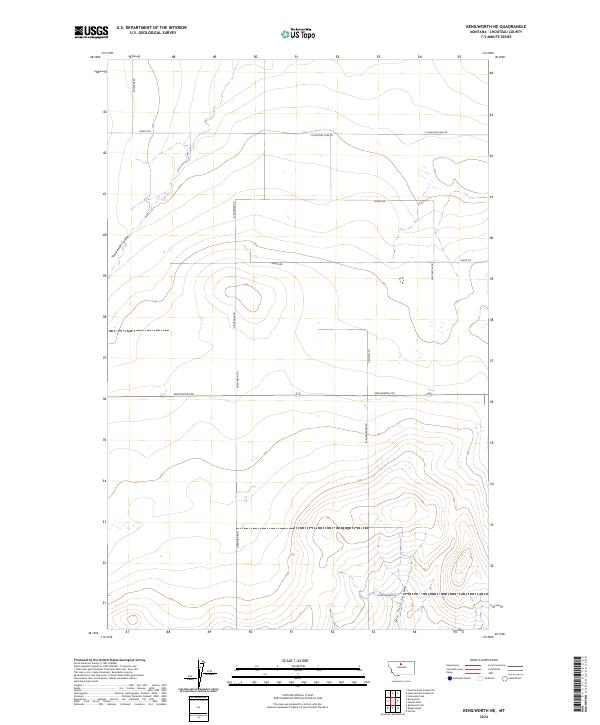
1969 Kenilworth NE
Chouteau County, MT
1969 Kenilworth SW
Chouteau County, MT
1970 Apple School
Chouteau County, MT
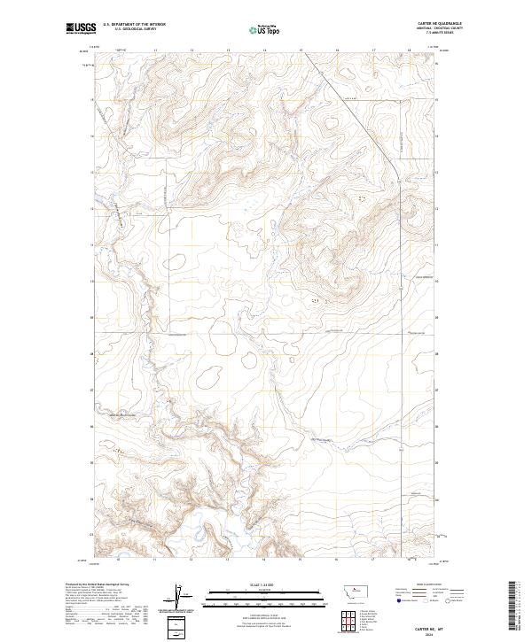
1970 Carter NE
Chouteau County, MT
1970 Dorner School
Chouteau County, MT
1970 Goose Bill Butte
Chouteau County, MT
1970 Knees
Chouteau County, MT
1970 Mc Bridy Spring
Chouteau County, MT
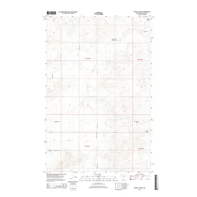
1970 Russell Chapel
Chouteau County, MT
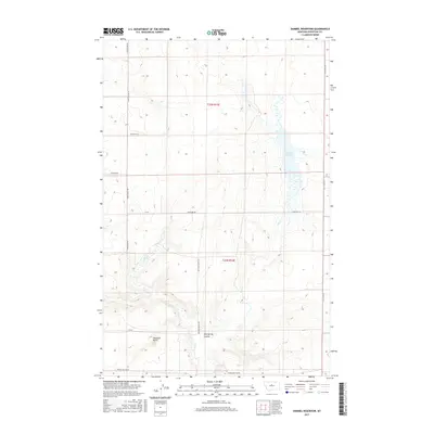
1972 Dammel Reservoir
Chouteau County, MT
1972 Eagle Buttes SW
Chouteau County, MT
1972 Geraldine NE
Chouteau County, MT
1972 Montague
Chouteau County, MT
1972 Shonkin
Chouteau County, MT
1972 Shonkin NW
Chouteau County, MT
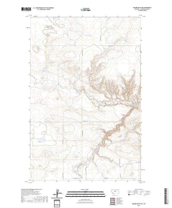
1972 Square Butte NE
Chouteau County, MT
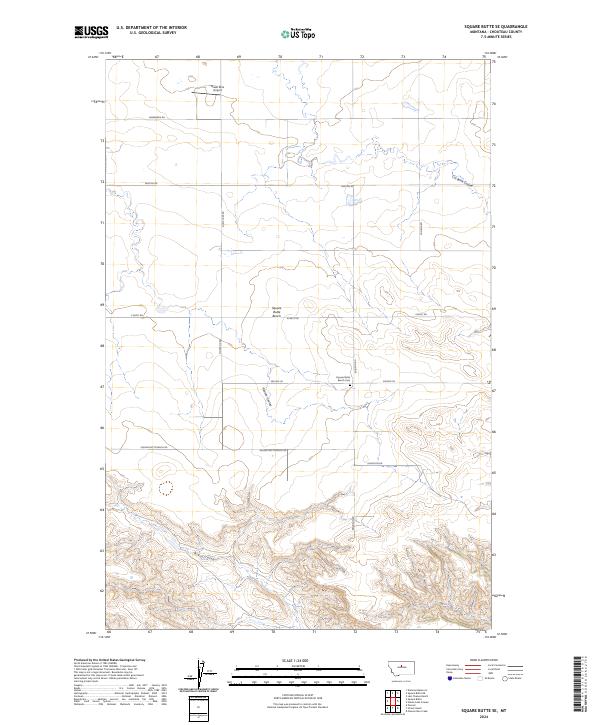
1972 Square Butte SE
Chouteau County, MT
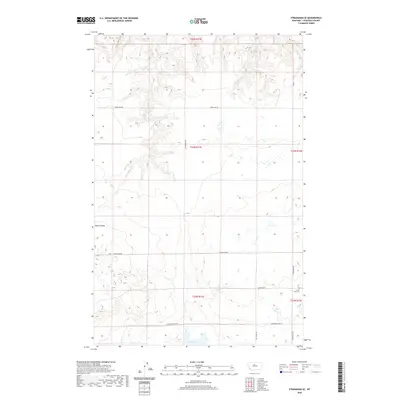
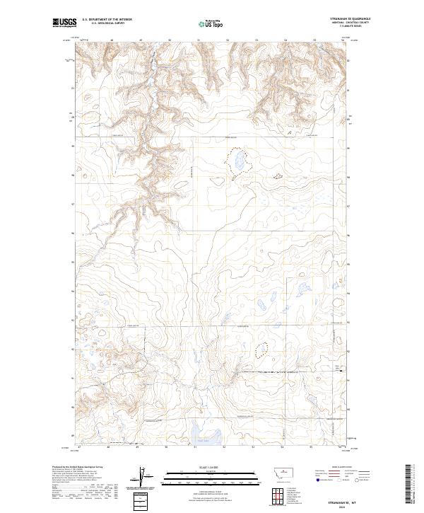
1972 Stranahan SE
Chouteau County, MT
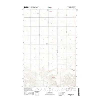
1978 Arrow Peak
Chouteau County, MT
1978 Steele Lake Coulee
Chouteau County, MT
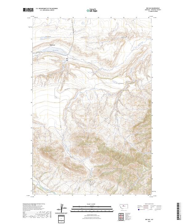
1979 Big Sag
Chouteau County, MT
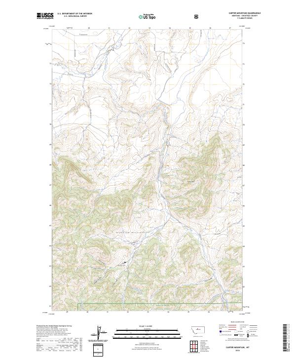
1979 Carter Mountain
Chouteau County, MT
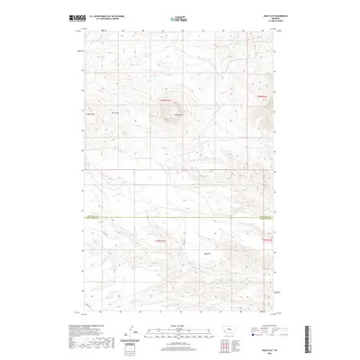
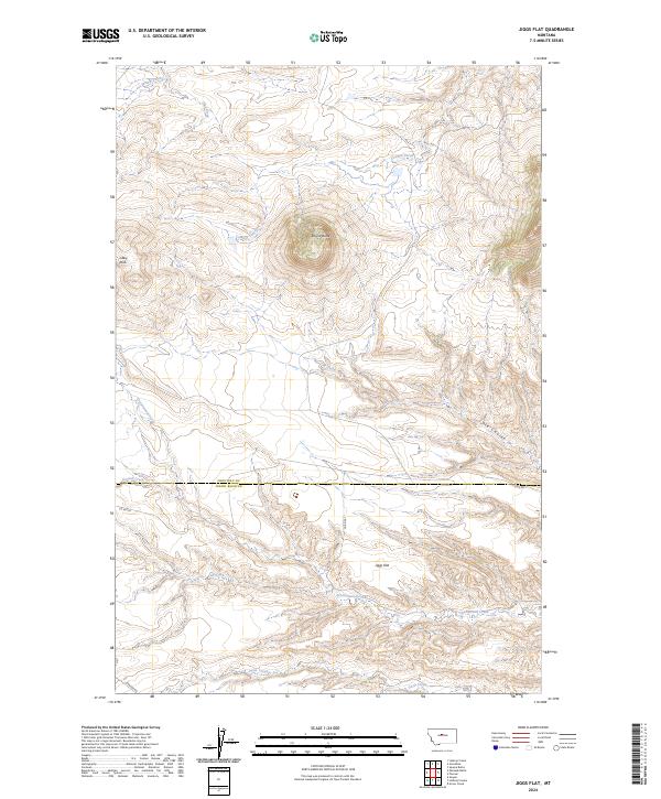
1979 Jiggs Flat
Chouteau County, MT
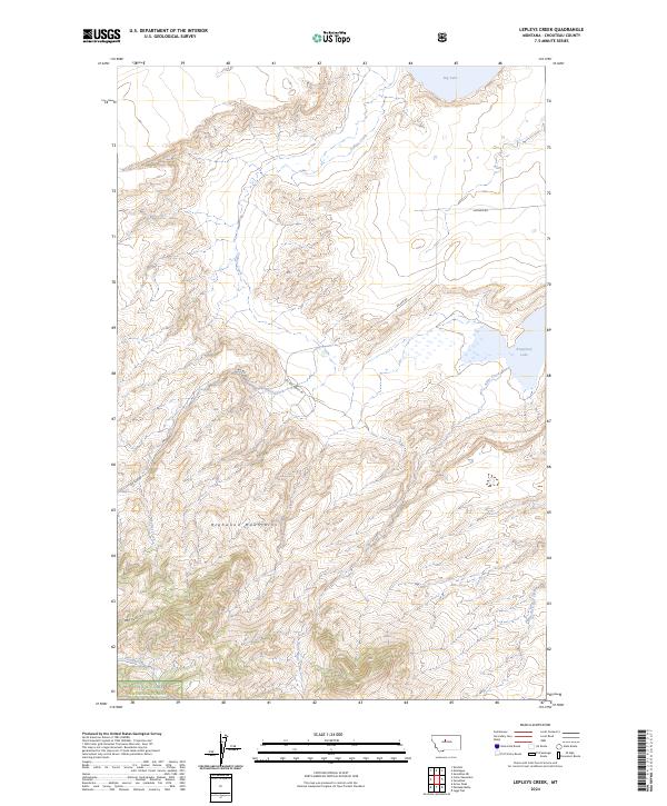
1979 Lepleys Creek
Chouteau County, MT
1979 Palisade Butte
Chouteau County, MT
1979 Pownal
Chouteau County, MT
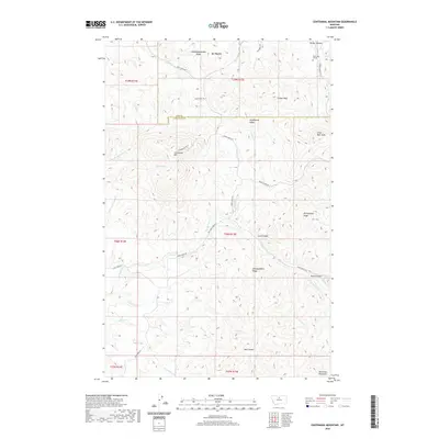
1984 Centennial Mountain
Chouteau County, MT
1984 Eagleton NW
Chouteau County, MT
1984 Eskay NE
Chouteau County, MT
1984 Eskay NW
Chouteau County, MT

1984 Lonesome Lake
Chouteau County, MT
1984 Ryan Butte
Chouteau County, MT
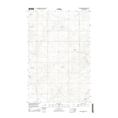
1984 Seifort Reservoir
Chouteau County, MT
1984 Studhorse Butte
Chouteau County, MT
1984 Table Butte
Chouteau County, MT
1984 Tiger Butte
Chouteau County, MT
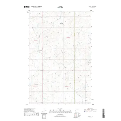
1984 Warrick
Chouteau County, MT
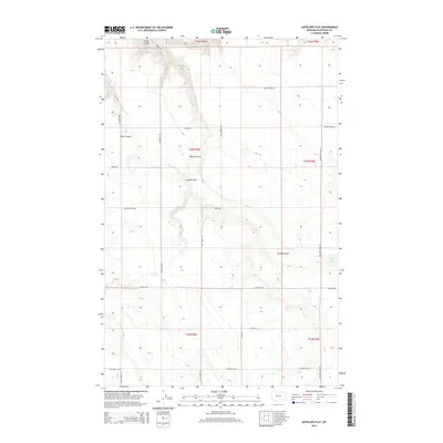
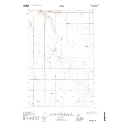
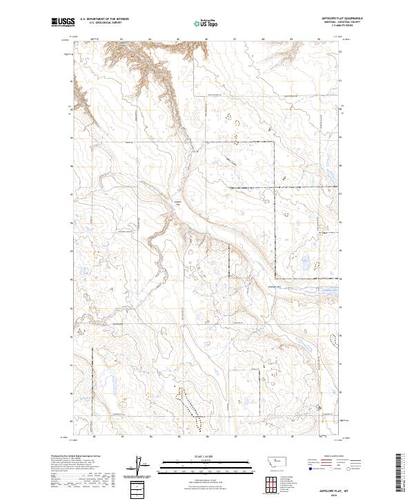
1987 Antelope Flat
Chouteau County, MT
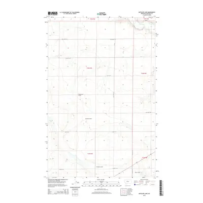
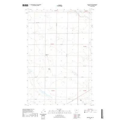
1987 Antelope Lake
Chouteau County, MT
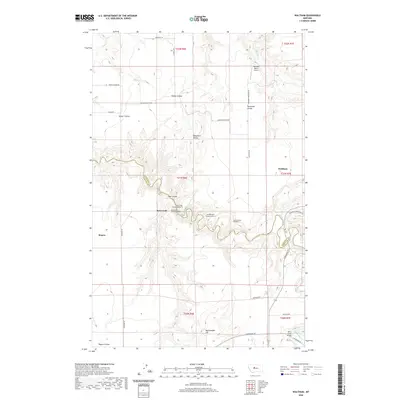
1987 Dent Bridge
Chouteau County, MT
1987 Dent Bridge NE
Chouteau County, MT
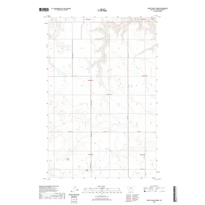
1987 Shannon Bridge
Chouteau County, MT
1995 Arrow Peak
Chouteau County, MT
1995 Carter Mountain
Chouteau County, MT
1995 Lepleys Creek
Chouteau County, MT
1995 Palisade Butte
Chouteau County, MT
2011 Antelope Flat
Chouteau County, MT
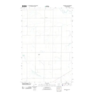
2011 Antelope Lake
Chouteau County, MT
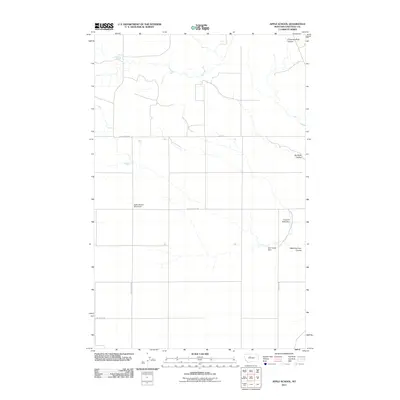
2011 Apple School
Chouteau County, MT
2011 Arrow Peak
Chouteau County, MT
2011 Big Bend School
Chouteau County, MT
2011 Big Sag
Chouteau County, MT
2011 Boggs Island
Chouteau County, MT
2011 Carter Mountain
Chouteau County, MT
2011 Carter NE
Chouteau County, MT
2011 Centennial Mountain
Chouteau County, MT
2011 Chase Hill
Chouteau County, MT
2011 Dammel Reservoir
Chouteau County, MT
2011 Dark Butte
Chouteau County, MT

2011 Day School
Chouteau County, MT
2011 Day School SW
Chouteau County, MT
2011 Dent Bridge
Chouteau County, MT
2011 Dent Bridge NE
Chouteau County, MT
2011 Discovery Butte
Chouteau County, MT
2011 Dorner School
Chouteau County, MT
2011 Dutch Henry Coulee
Chouteau County, MT
2011 Eagle Buttes
Chouteau County, MT
2011 Eagle Buttes SW
Chouteau County, MT
2011 Eagleton NW
Chouteau County, MT
2011 Eskay NE
Chouteau County, MT
2011 Eskay NW
Chouteau County, MT
2011 Fort Benton NW
Chouteau County, MT
2011 Geraldine NE
Chouteau County, MT
2011 Goose Bill Butte
Chouteau County, MT
2011 Ihmsen Well
Chouteau County, MT
2011 Iliad
Chouteau County, MT
2011 Jiggs Flat
Chouteau County, MT

2011 Kenilworth
Chouteau County, MT
2011 Kenilworth NE
Chouteau County, MT
2011 Kenilworth SW
Chouteau County, MT
2011 Knees
Chouteau County, MT
2011 Lander Crossing
Chouteau County, MT
2011 Last Chance Bench
Chouteau County, MT
2011 Lepleys Creek
Chouteau County, MT
2011 Loma East
Chouteau County, MT
2011 Loma West
Chouteau County, MT
2011 Lonetree Coulee
Chouteau County, MT
2011 McBridy Spring
Chouteau County, MT
2011 Montague
Chouteau County, MT

2011 O'Hanlon Coulee
Chouteau County, MT
2011 Palisade Butte
Chouteau County, MT
2011 Pigtail Coulee
Chouteau County, MT
2011 Pilot Rock
Chouteau County, MT
2011 Pownal
Chouteau County, MT
2011 Rice Reservoir
Chouteau County, MT
2011 Rocky Lake
Chouteau County, MT
2011 Russell Chapel
Chouteau County, MT
2011 Ryan Butte
Chouteau County, MT
2011 Seifort Reservoir
Chouteau County, MT

2011 Shannon Bridge
Chouteau County, MT
2011 Sheep Coulee Spring
Chouteau County, MT
2011 Shonkin
Chouteau County, MT
2011 Shonkin NW
Chouteau County, MT
2011 Square Butte NE
Chouteau County, MT
2011 Square Butte SE
Chouteau County, MT
2011 Starve Out Flat
Chouteau County, MT
2011 Steele Lake Coulee
Chouteau County, MT
2011 Stranahan
Chouteau County, MT
2011 Stranahan SE
Chouteau County, MT
2011 Studhorse Butte
Chouteau County, MT
2011 Table Butte
Chouteau County, MT
2011 Tiger Butte
Chouteau County, MT
2011 Tunis
Chouteau County, MT
2011 Verona
Chouteau County, MT
2011 Waltham
Chouteau County, MT
2011 Warrick
Chouteau County, MT
2014 Antelope Flat
Chouteau County, MT
2014 Antelope Lake
Chouteau County, MT

2014 Apple School
Chouteau County, MT
2014 Arrow Peak
Chouteau County, MT
2014 Big Bend School
Chouteau County, MT
2014 Big Sag
Chouteau County, MT
2014 Boggs Island
Chouteau County, MT
2014 Carter Mountain
Chouteau County, MT
2014 Carter NE
Chouteau County, MT
2014 Centennial Mountain
Chouteau County, MT
2014 Chase Hill
Chouteau County, MT
2014 Dammel Reservoir
Chouteau County, MT
2014 Dark Butte
Chouteau County, MT
2014 Day School
Chouteau County, MT
2014 Day School SW
Chouteau County, MT
2014 Dent Bridge
Chouteau County, MT
2014 Dent Bridge NE
Chouteau County, MT
2014 Discovery Butte
Chouteau County, MT
2014 Dorner School
Chouteau County, MT
2014 Dutch Henry Coulee
Chouteau County, MT

2014 Eagle Buttes
Chouteau County, MT
2014 Eagle Buttes SW
Chouteau County, MT
2014 Eagleton NW
Chouteau County, MT
2014 Eskay NE
Chouteau County, MT
2014 Eskay NW
Chouteau County, MT
2014 Fort Benton NW
Chouteau County, MT
2014 Geraldine NE
Chouteau County, MT
2014 Goose Bill Butte
Chouteau County, MT
2014 Ihmsen Well
Chouteau County, MT
2014 Iliad
Chouteau County, MT

2014 Jiggs Flat
Chouteau County, MT
2014 Kenilworth
Chouteau County, MT
2014 Kenilworth NE
Chouteau County, MT
2014 Kenilworth SW
Chouteau County, MT
2014 Knees
Chouteau County, MT
2014 Lander Crossing
Chouteau County, MT
2014 Last Chance Bench
Chouteau County, MT
2014 Lepleys Creek
Chouteau County, MT
2014 Loma East
Chouteau County, MT
2014 Loma West
Chouteau County, MT
2014 Lonetree Coulee
Chouteau County, MT
2014 McBridy Spring
Chouteau County, MT
2014 Montague
Chouteau County, MT
2014 O'Hanlon Coulee
Chouteau County, MT
2014 Palisade Butte
Chouteau County, MT
2014 Pigtail Coulee
Chouteau County, MT
2014 Pilot Rock
Chouteau County, MT
2014 Pownal
Chouteau County, MT
2014 Rice Reservoir
Chouteau County, MT
2014 Rocky Lake
Chouteau County, MT
2014 Russell Chapel
Chouteau County, MT
2014 Ryan Butte
Chouteau County, MT
2014 Seifort Reservoir
Chouteau County, MT
2014 Shannon Bridge
Chouteau County, MT
2014 Sheep Coulee Spring
Chouteau County, MT
2014 Shonkin
Chouteau County, MT
2014 Shonkin NW
Chouteau County, MT
2014 Square Butte NE
Chouteau County, MT
2014 Square Butte SE
Chouteau County, MT
2014 Starve Out Flat
Chouteau County, MT
2014 Steele Lake Coulee
Chouteau County, MT
2014 Stranahan
Chouteau County, MT
2014 Stranahan SE
Chouteau County, MT
2014 Studhorse Butte
Chouteau County, MT
2014 Table Butte
Chouteau County, MT
2014 Tiger Butte
Chouteau County, MT
2014 Tunis
Chouteau County, MT
2014 Verona
Chouteau County, MT
2014 Waltham
Chouteau County, MT
2014 Warrick
Chouteau County, MT
2017 Antelope Flat
Chouteau County, MT
2017 Antelope Lake
Chouteau County, MT
2017 Apple School
Chouteau County, MT

2017 Arrow Peak
Chouteau County, MT
2017 Big Bend School
Chouteau County, MT
2017 Big Sag
Chouteau County, MT
2017 Boggs Island
Chouteau County, MT
2017 Carter Mountain
Chouteau County, MT
2017 Carter NE
Chouteau County, MT
2017 Centennial Mountain
Chouteau County, MT
2017 Chase Hill
Chouteau County, MT
2017 Dammel Reservoir
Chouteau County, MT
2017 Dark Butte
Chouteau County, MT
2017 Day School
Chouteau County, MT
2017 Day School SW
Chouteau County, MT
2017 Dent Bridge
Chouteau County, MT

2017 Dent Bridge NE
Chouteau County, MT
2017 Discovery Butte
Chouteau County, MT
2017 Dorner School
Chouteau County, MT
2017 Dutch Henry Coulee
Chouteau County, MT
2017 Eagle Buttes
Chouteau County, MT
2017 Eagle Buttes SW
Chouteau County, MT
2017 Eagleton NW
Chouteau County, MT
2017 Eskay NE
Chouteau County, MT
2017 Eskay NW
Chouteau County, MT

2017 Fort Benton NW
Chouteau County, MT
2017 Geraldine NE
Chouteau County, MT
2017 Goose Bill Butte
Chouteau County, MT
2017 Ihmsen Well
Chouteau County, MT
2017 Iliad
Chouteau County, MT
2017 Jiggs Flat
Chouteau County, MT
2017 Kenilworth
Chouteau County, MT
2017 Kenilworth NE
Chouteau County, MT
2017 Kenilworth SW
Chouteau County, MT

2017 Knees
Chouteau County, MT
2017 Lander Crossing
Chouteau County, MT
2017 Last Chance Bench
Chouteau County, MT
2017 Lepleys Creek
Chouteau County, MT
2017 Loma East
Chouteau County, MT
2017 Loma West
Chouteau County, MT

2017 Lonetree Coulee
Chouteau County, MT
2017 McBridy Spring
Chouteau County, MT
2017 Montague
Chouteau County, MT
2017 O'Hanlon Coulee
Chouteau County, MT
2017 Palisade Butte
Chouteau County, MT
2017 Pigtail Coulee
Chouteau County, MT
2017 Pilot Rock
Chouteau County, MT
2017 Pownal
Chouteau County, MT
2017 Rice Reservoir
Chouteau County, MT
2017 Rocky Lake
Chouteau County, MT
2017 Russell Chapel
Chouteau County, MT
2017 Ryan Butte
Chouteau County, MT
2017 Seifort Reservoir
Chouteau County, MT

2017 Shannon Bridge
Chouteau County, MT
2017 Sheep Coulee Spring
Chouteau County, MT
2017 Shonkin
Chouteau County, MT
2017 Shonkin NW
Chouteau County, MT
2017 Square Butte NE
Chouteau County, MT
2017 Square Butte SE
Chouteau County, MT
2017 Starve Out Flat
Chouteau County, MT
2017 Steele Lake Coulee
Chouteau County, MT
2017 Stranahan
Chouteau County, MT

2017 Stranahan SE
Chouteau County, MT
2017 Studhorse Butte
Chouteau County, MT
2017 Table Butte
Chouteau County, MT
2017 Tiger Butte
Chouteau County, MT
2017 Tunis
Chouteau County, MT
2017 Verona
Chouteau County, MT
2017 Waltham
Chouteau County, MT
2017 Warrick
Chouteau County, MT
2020 Antelope Flat
Chouteau County, MT
2020 Antelope Lake
Chouteau County, MT
2020 Apple School
Chouteau County, MT
2020 Arrow Peak
Chouteau County, MT
2020 Big Bend School
Chouteau County, MT
2020 Big Sag
Chouteau County, MT
2020 Boggs Island
Chouteau County, MT
2020 Carter Mountain
Chouteau County, MT
2020 Carter NE
Chouteau County, MT
2020 Centennial Mountain
Chouteau County, MT
2020 Chase Hill
Chouteau County, MT
2020 Dammel Reservoir
Chouteau County, MT
2020 Dark Butte
Chouteau County, MT
2020 Day School
Chouteau County, MT
2020 Day School SW
Chouteau County, MT
2020 Dent Bridge
Chouteau County, MT
2020 Dent Bridge NE
Chouteau County, MT
2020 Discovery Butte
Chouteau County, MT
2020 Dorner School
Chouteau County, MT
2020 Dutch Henry Coulee
Chouteau County, MT
2020 Eagle Buttes
Chouteau County, MT
2020 Eagle Buttes SW
Chouteau County, MT
2020 Eagleton NW
Chouteau County, MT
2020 Eskay NE
Chouteau County, MT
2020 Eskay NW
Chouteau County, MT
2020 Fort Benton NW
Chouteau County, MT
2020 Geraldine NE
Chouteau County, MT
2020 Goose Bill Butte
Chouteau County, MT
2020 Ihmsen Well
Chouteau County, MT
2020 Iliad
Chouteau County, MT
2020 Jiggs Flat
Chouteau County, MT
2020 Kenilworth
Chouteau County, MT
2020 Kenilworth NE
Chouteau County, MT
2020 Kenilworth SW
Chouteau County, MT
2020 Knees
Chouteau County, MT
2020 Lander Crossing
Chouteau County, MT
2020 Last Chance Bench
Chouteau County, MT
2020 Lepleys Creek
Chouteau County, MT
2020 Loma East
Chouteau County, MT
2020 Loma West
Chouteau County, MT
2020 Lonetree Coulee
Chouteau County, MT
2020 McBridy Spring
Chouteau County, MT
2020 Montague
Chouteau County, MT

2020 O'Hanlon Coulee
Chouteau County, MT
2020 Palisade Butte
Chouteau County, MT
2020 Pigtail Coulee
Chouteau County, MT
2020 Pilot Rock
Chouteau County, MT
2020 Pownal
Chouteau County, MT
2020 Rice Reservoir
Chouteau County, MT
2020 Rocky Lake
Chouteau County, MT
2020 Russell Chapel
Chouteau County, MT
2020 Ryan Butte
Chouteau County, MT
2020 Seifort Reservoir
Chouteau County, MT
2020 Shannon Bridge
Chouteau County, MT
2020 Sheep Coulee Spring
Chouteau County, MT
2020 Shonkin
Chouteau County, MT
2020 Shonkin NW
Chouteau County, MT
2020 Square Butte NE
Chouteau County, MT
2020 Square Butte SE
Chouteau County, MT
2020 Starve Out Flat
Chouteau County, MT
2020 Steele Lake Coulee
Chouteau County, MT
2020 Stranahan
Chouteau County, MT
2020 Stranahan SE
Chouteau County, MT
2020 Studhorse Butte
Chouteau County, MT
2020 Table Butte
Chouteau County, MT
2020 Tiger Butte
Chouteau County, MT

2020 Tunis
Chouteau County, MT

2020 Verona
Chouteau County, MT
2020 Waltham
Chouteau County, MT
2020 Warrick
Chouteau County, MT
2024 Antelope Flat
Chouteau County, MT
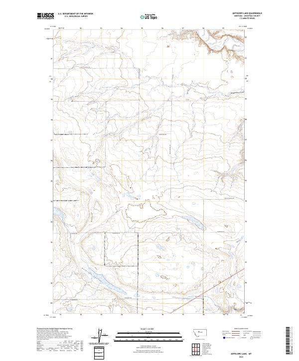
2024 Antelope Lake
Chouteau County, MT
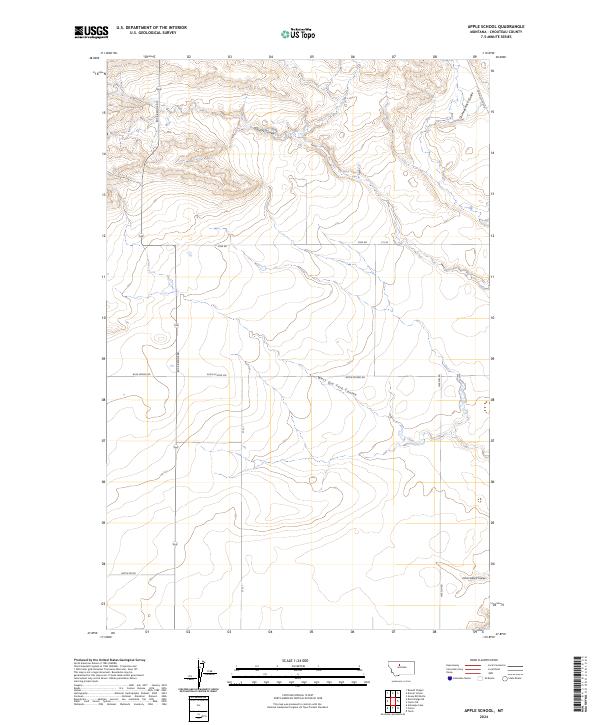
2024 Apple School
Chouteau County, MT
2024 Arrow Peak
Chouteau County, MT
2024 Big Bend School
Chouteau County, MT
2024 Big Sag
Chouteau County, MT
2024 Boggs Island
Chouteau County, MT
2024 Carter Mountain
Chouteau County, MT
2024 Carter NE
Chouteau County, MT
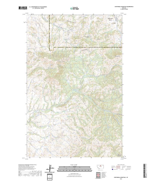
2024 Centennial Mountain
Chouteau County, MT
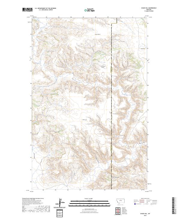
2024 Chase Hill
Chouteau County, MT
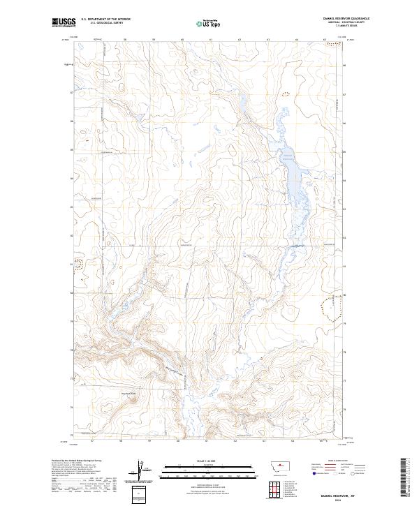
2024 Dammel Reservoir
Chouteau County, MT
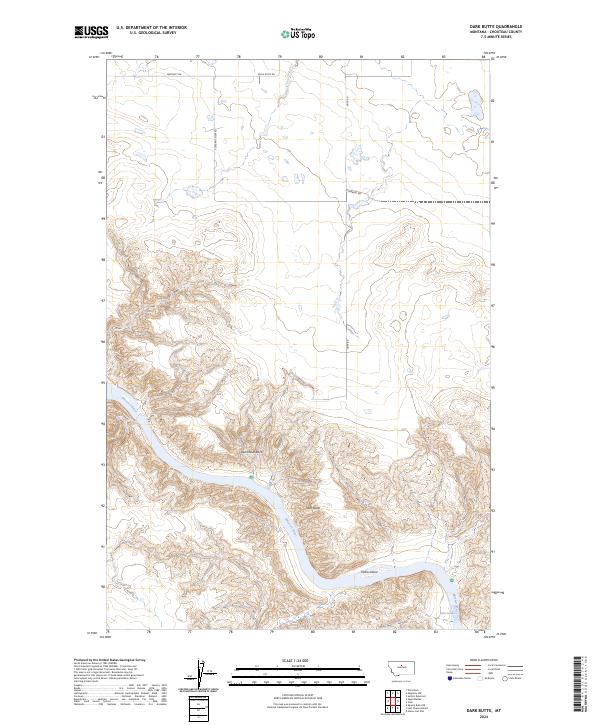
2024 Dark Butte
Chouteau County, MT
2024 Day School
Chouteau County, MT
2024 Day School SW
Chouteau County, MT
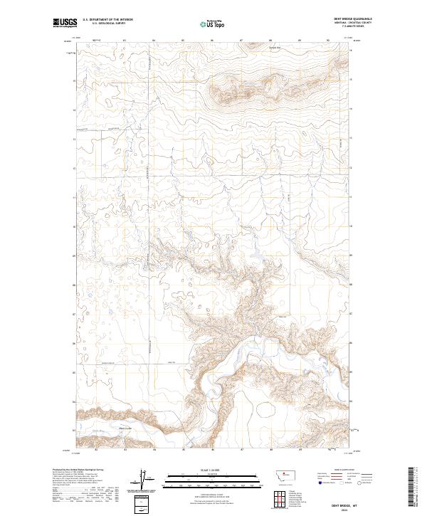
2024 Dent Bridge
Chouteau County, MT
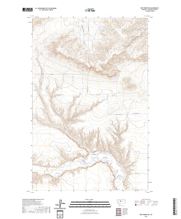
2024 Dent Bridge NE
Chouteau County, MT
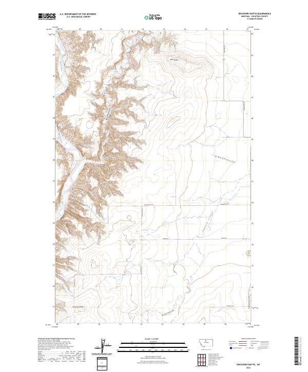
2024 Discovery Butte
Chouteau County, MT
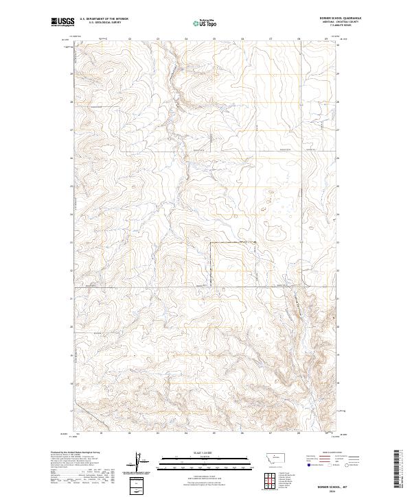
2024 Dorner School
Chouteau County, MT
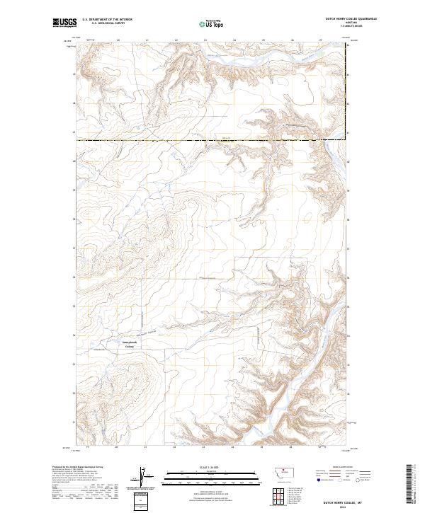
2024 Dutch Henry Coulee
Chouteau County, MT
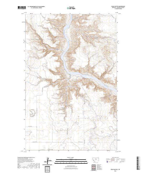
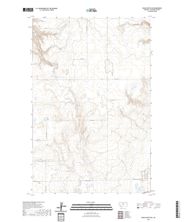
2024 Eagle Buttes
Chouteau County, MT
2024 Eagle Buttes SW
Chouteau County, MT
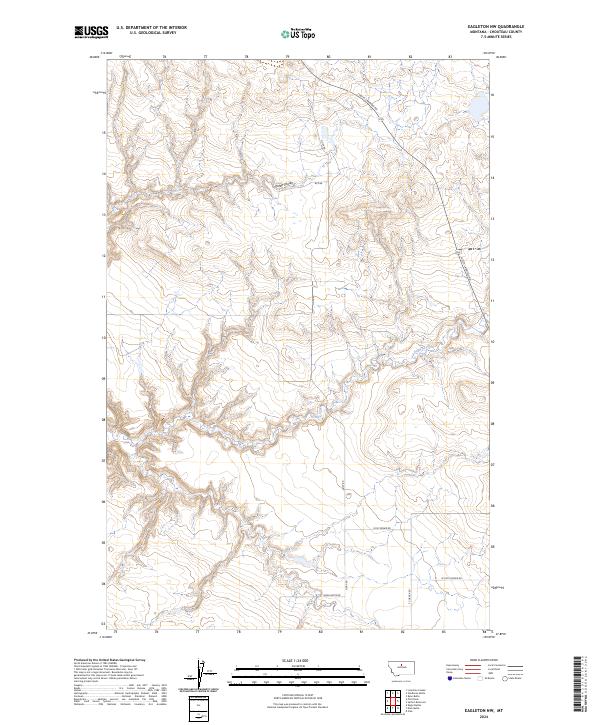
2024 Eagleton NW
Chouteau County, MT
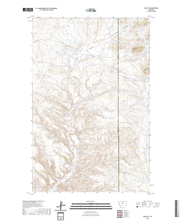
2024 Eskay NE
Chouteau County, MT
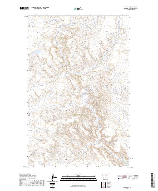
2024 Eskay NW
Chouteau County, MT
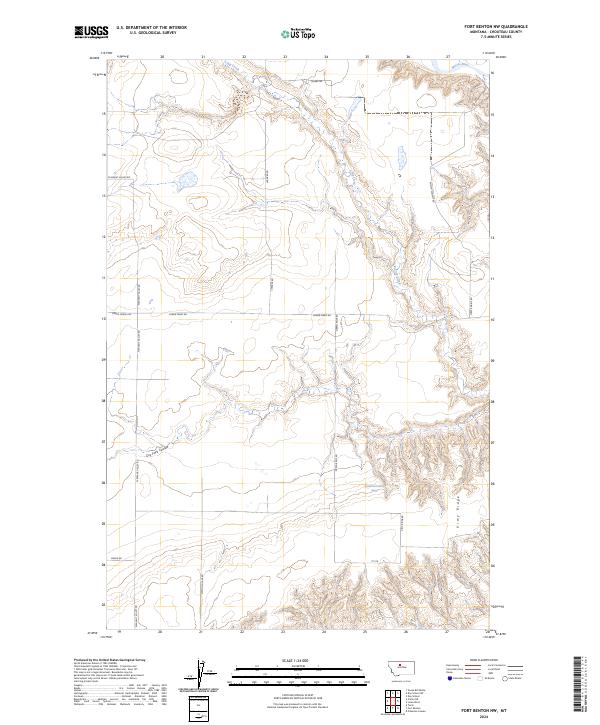
2024 Fort Benton NW
Chouteau County, MT
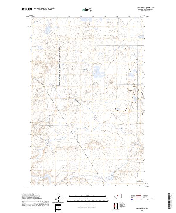
2024 Geraldine NE
Chouteau County, MT
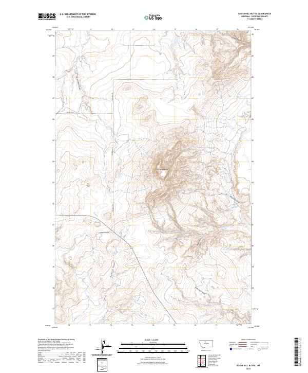
2024 Goose Bill Butte
Chouteau County, MT
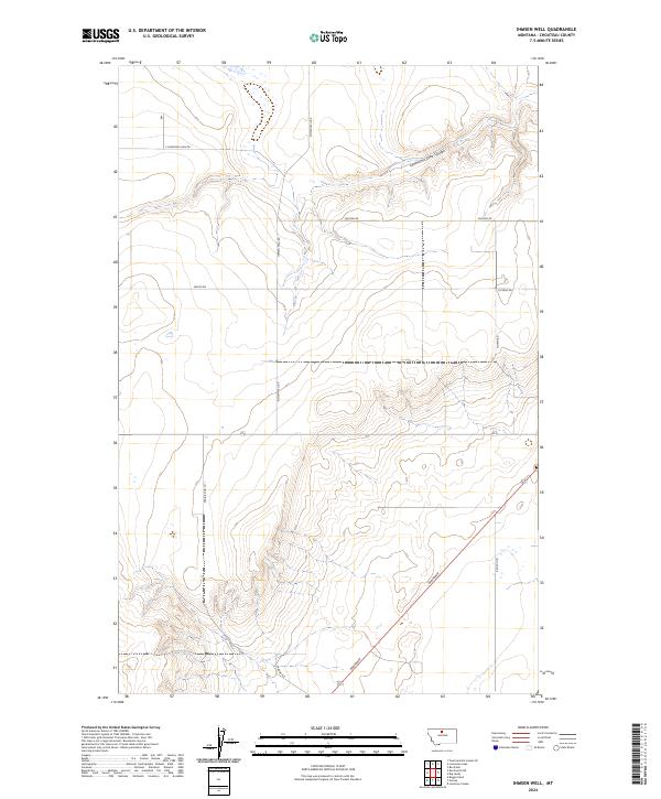
2024 Ihmsen Well
Chouteau County, MT
2024 Iliad
Chouteau County, MT
2024 Jiggs Flat
Chouteau County, MT
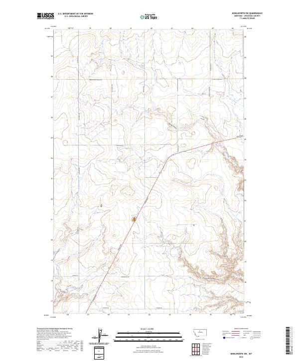
2024 Kenilworth
Chouteau County, MT
2024 Kenilworth NE
Chouteau County, MT
2024 Kenilworth SW
Chouteau County, MT
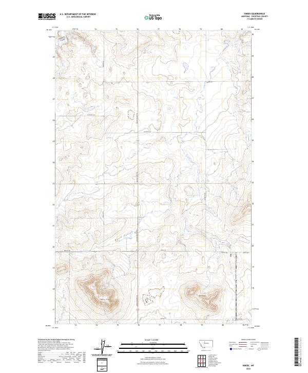
2024 Knees
Chouteau County, MT
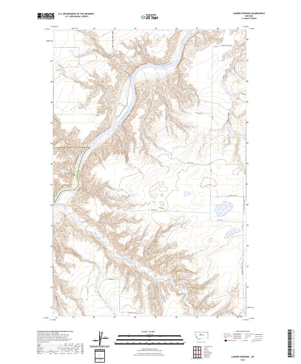
2024 Lander Crossing
Chouteau County, MT
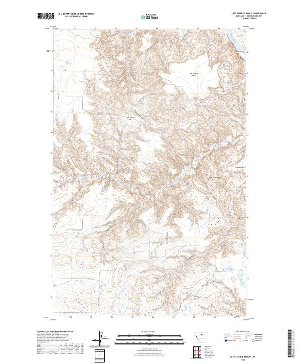
2024 Last Chance Bench
Chouteau County, MT
2024 Lepleys Creek
Chouteau County, MT
2024 Loma East
Chouteau County, MT
2024 Loma West
Chouteau County, MT
2024 Lonetree Coulee
Chouteau County, MT
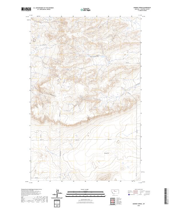
2024 McBridy Spring
Chouteau County, MT
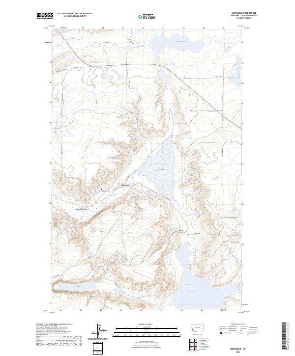
2024 Montague
Chouteau County, MT
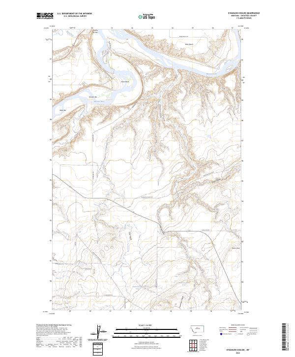
2024 O'Hanlon Coulee
Chouteau County, MT
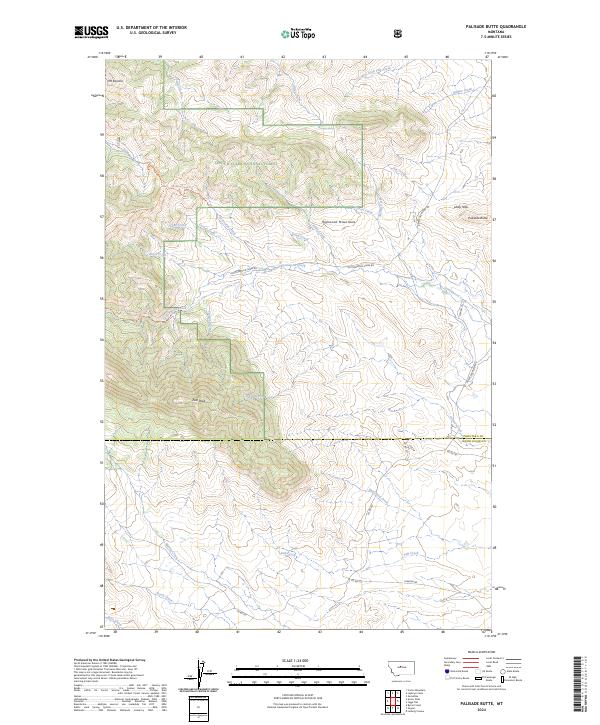
2024 Palisade Butte
Chouteau County, MT
2024 Pigtail Coulee
Chouteau County, MT
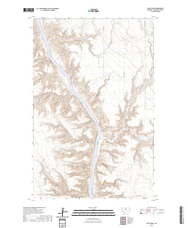
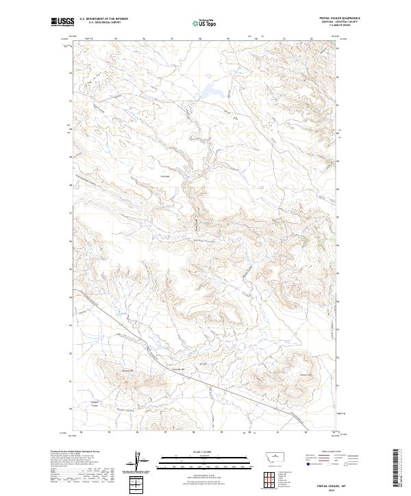
2024 Pilot Rock
Chouteau County, MT
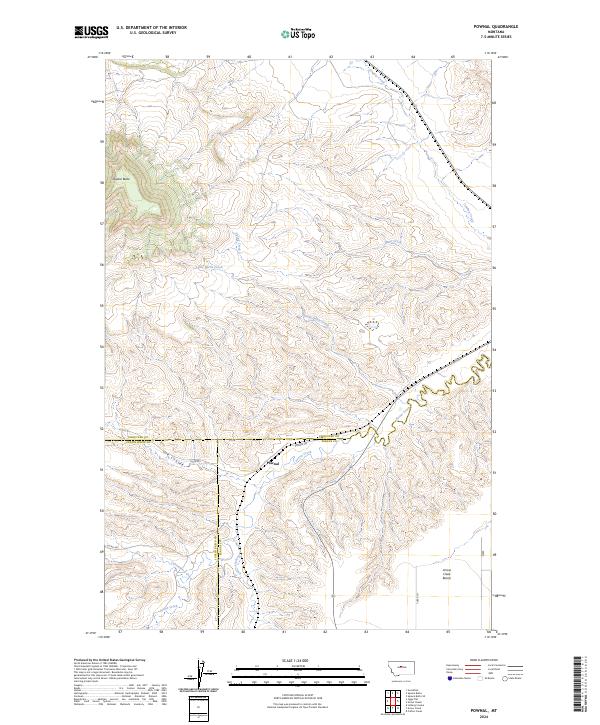
2024 Pownal
Chouteau County, MT
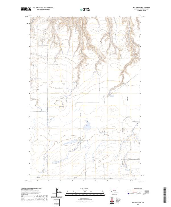
2024 Rice Reservoir
Chouteau County, MT
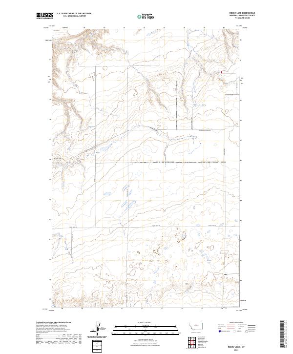
2024 Rocky Lake
Chouteau County, MT
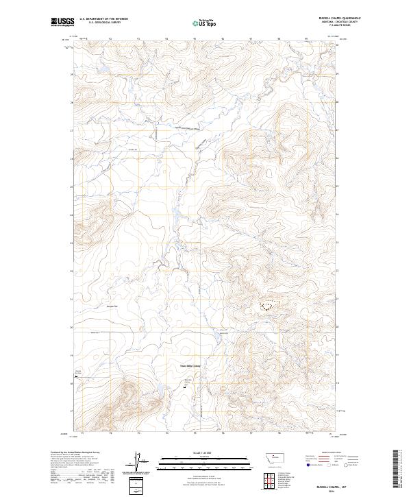
2024 Russell Chapel
Chouteau County, MT
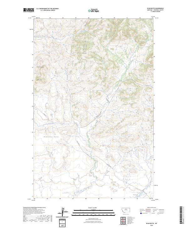
2024 Ryan Butte
Chouteau County, MT
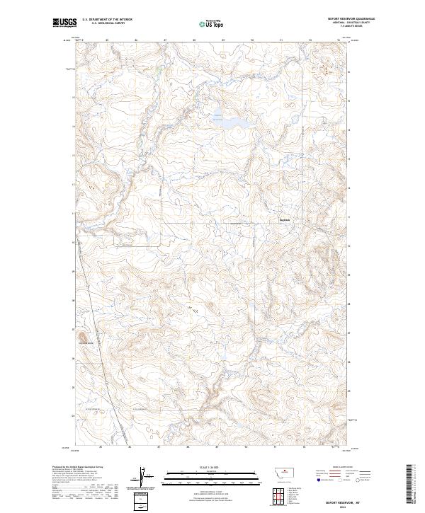
2024 Seifort Reservoir
Chouteau County, MT
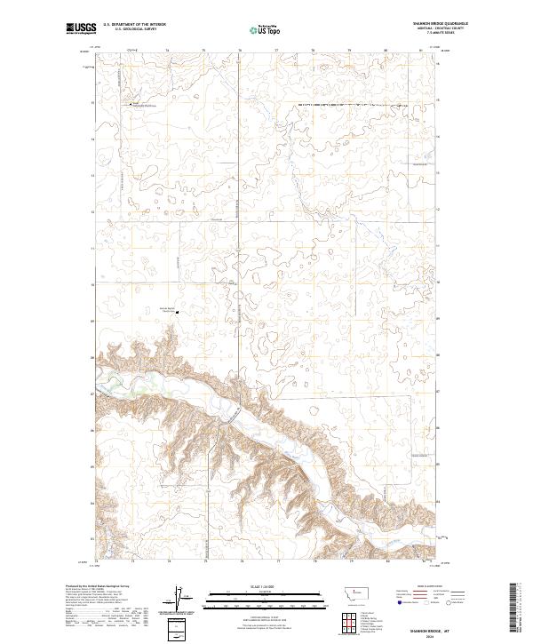
2024 Shannon Bridge
Chouteau County, MT
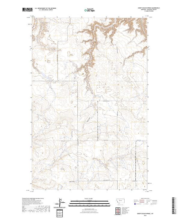
2024 Sheep Coulee Spring
Chouteau County, MT
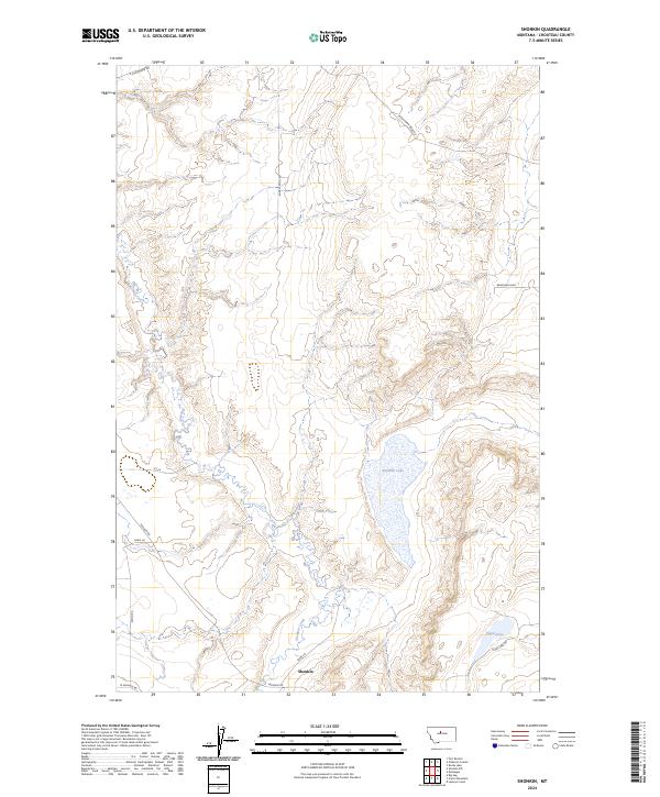
2024 Shonkin
Chouteau County, MT
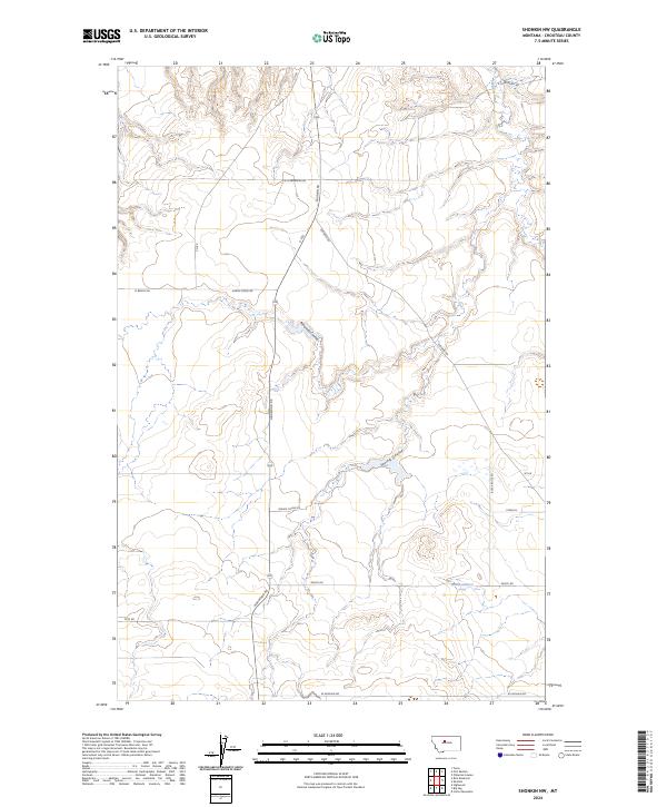
2024 Shonkin NW
Chouteau County, MT
2024 Square Butte NE
Chouteau County, MT
2024 Square Butte SE
Chouteau County, MT
2024 Starve Out Flat
Chouteau County, MT

2024 Steele Lake Coulee
Chouteau County, MT
2024 Stranahan
Chouteau County, MT
2024 Stranahan SE
Chouteau County, MT
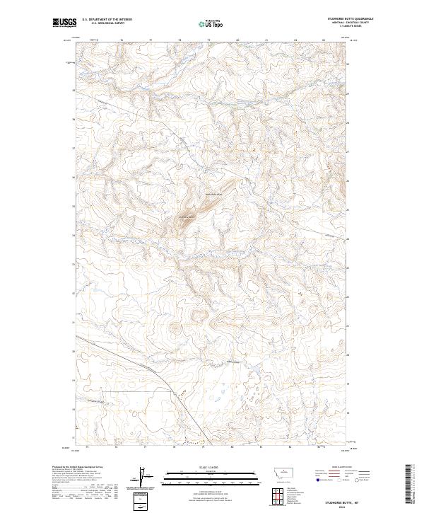
2024 Studhorse Butte
Chouteau County, MT
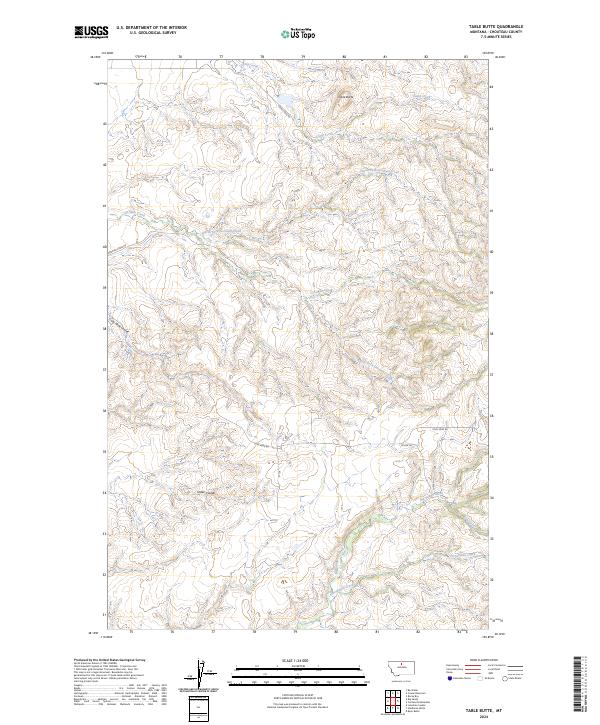
2024 Table Butte
Chouteau County, MT
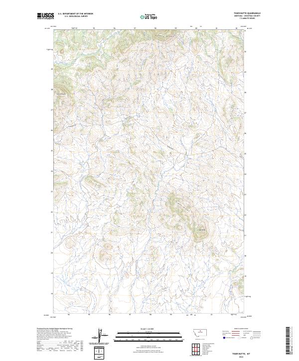
2024 Tiger Butte
Chouteau County, MT
2024 Tunis
Chouteau County, MT

2024 Verona
Chouteau County, MT
2024 Waltham
Chouteau County, MT
2024 Warrick
Chouteau County, MT