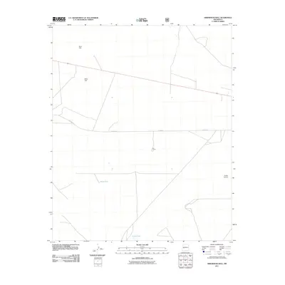
2011 Map of Arrowhead Well
USGS Topo · Published 2011About this map
Farr Corral stands as a lonely point of human infrastructure in this arid stretch of Socorro County, New Mexico. The landscape is primarily defined by its hydrology and terrain, featuring the White Lake depression and the Sand Hills to the northwest. This 2011 survey documents a remote ranching environment where water management is critical, evidenced by the presence of Broke Tank and Durfee Tank. A notable geographic transition occurs at Durfee Canyon, where the topography begins to shift. Historically, the area is bisected by Old Hwy 60, reflecting the long-standing transportation corridors that have crossed these high plains for decades, linking isolated outposts and livestock operations across the desert floor.
Find a feature on this map
7 named features on this map. Tap any name to fly to it.
Don’t see what you’re looking for? This feature index may not catch every label — zoom into the map to look around manually.
Map Details
Editions of this 2011 Arrowhead Well Map
This is the sole edition of this map. No revisions or reprints were ever made.
Other maps of this area

1954 · Tularosa
USGS Topo · 1:250,000

1954 · Socorro
USGS Topo · 1:250,000

1958 · Socorro
USGS Topo · 1:250,000

1958 · Tularosa
USGS Topo · 1:250,000

1962 · Socorro
USGS Topo · 1:250,000

1964 · Arrowhead Well
USGS Topo · 1:24,000

1964 · Monica Saddle
USGS Topo · 1:24,000

1964 · Tres Montosas
USGS Topo · 1:24,000

1964 · Gallinas Peak
USGS Topo · 1:24,000

1964 · Lion Mountain
USGS Topo · 1:24,000