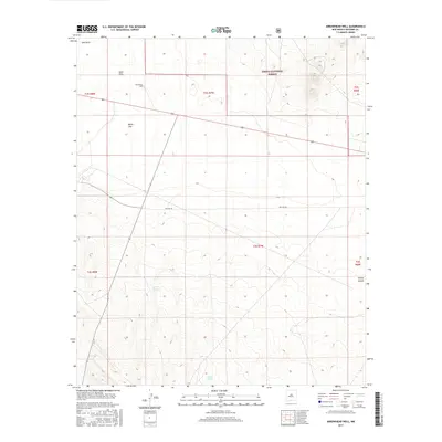
2017 Map of Arrowhead Well
USGS Topo · Published 2017About this map
Cibola National Forest encompasses a significant portion of this landscape, where the high desert terrain transitions into the complex drainage systems of Durfee Canyon. The map reveals a sophisticated network of water management essential for ranching and survival in Socorro County, evidenced by features such as Arrowhead Well, Broke Tank, and Durfee Tank. A notable stretch of Old Hwy 60 cuts across the central townships, marking the historical transit corridor through this arid region. The presence of White Lake and the shifting Sand Hills highlights the ephemeral and geological character of the local hydrology and landforms during this 2017 survey.
Find a feature on this map
14 named features on this map. Tap any name to fly to it.
Don’t see what you’re looking for? This feature index may not catch every label — zoom into the map to look around manually.
Map Details
Editions of this 2017 Arrowhead Well Map
This is the sole edition of this map. No revisions or reprints were ever made.
Other maps of this area

1954 · Tularosa
USGS Topo · 1:250,000

1954 · Socorro
USGS Topo · 1:250,000

1958 · Socorro
USGS Topo · 1:250,000

1958 · Tularosa
USGS Topo · 1:250,000

1962 · Socorro
USGS Topo · 1:250,000

1964 · Arrowhead Well
USGS Topo · 1:24,000

1964 · Monica Saddle
USGS Topo · 1:24,000

1964 · Tres Montosas
USGS Topo · 1:24,000

1964 · Gallinas Peak
USGS Topo · 1:24,000

1964 · Lion Mountain
USGS Topo · 1:24,000