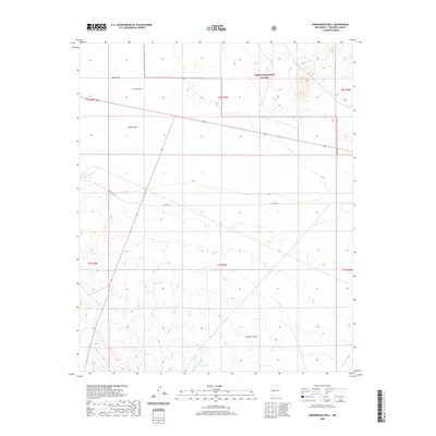
2020 Map of Arrowhead Well
USGS Topo · Published 2020About this map
Arrowhead Well marks a remote junction in the high desert of Socorro County, where the northern expanse of the Cibola National Forest meets an arid landscape shaped by drainage and storage features. The terrain transitions from the Sand Hills in the northwest toward the more complex topography of Durfee Canyon in the southeast. Historical transportation routes are prominent, with Old Hwy 60 cutting across the central plains while State Hwy 166 angles through the southwestern portion of the sheet. Water management is central to the area's utility, evidenced by scattered catchments like White Lake, Broke Tank, and Durfee Tank. These features suggest a landscape primarily utilized for ranching and resource management within the public lands of central New Mexico during the early 21st century.
Find a feature on this map
16 named features on this map. Tap any name to fly to it.
Don’t see what you’re looking for? This feature index may not catch every label — zoom into the map to look around manually.
Map Details
Editions of this 2020 Arrowhead Well Map
This is the sole edition of this map. No revisions or reprints were ever made.
Other maps of this area

1954 · Tularosa
USGS Topo · 1:250,000

1954 · Socorro
USGS Topo · 1:250,000

1958 · Socorro
USGS Topo · 1:250,000

1958 · Tularosa
USGS Topo · 1:250,000

1962 · Socorro
USGS Topo · 1:250,000

1964 · Arrowhead Well
USGS Topo · 1:24,000

1964 · Monica Saddle
USGS Topo · 1:24,000

1964 · Tres Montosas
USGS Topo · 1:24,000

1964 · Gallinas Peak
USGS Topo · 1:24,000

1964 · Lion Mountain
USGS Topo · 1:24,000