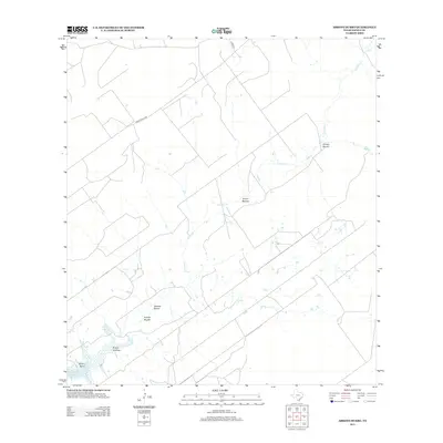
2013 Map of Arroyo Burro
USGS Topo · Published 2013About this map
The arid landscape of Zapata County reveals a network of seasonal drainages and ranch infrastructure in this 2013 U.S. Geological Survey representation. The most prominent hydrological feature is Cavasara Cr, which meanders across the territory, illustrating the typical drainage patterns of the South Texas brush country. This survey provides a modern snapshot of land division and remote access roads, documenting how the terrain is managed for ranching and resource extraction. The map serves as a vital record for understanding the contemporary geography of this borderlands region, where the interplay between ephemeral water sources and property boundaries defines the human footprint on the land.
Find a feature on this map
1 named feature on this map. Tap any name to fly to it.
Don’t see what you’re looking for? This feature index may not catch every label — zoom into the map to look around manually.
Map Details
Editions of this 2013 Arroyo Burro Map
This is the sole edition of this map. No revisions or reprints were ever made.
Other maps of this area

1940 · Mogotes Hill
USGS Topo · 1:62,500

1942 · San Ygnacio
USGS Topo · 1:62,500

1949 · Mc Allen
USGS Topo · 1:250,000

1954 · McAllen
USGS Topo · 1:250,000

1956 · Mogotes Hill
USGS Topo · 1:62,500

1956 · Zapata
USGS Topo · 1:62,500

1956 · Arroyo Clareno
USGS Topo · 1:62,500

1956 · Laredo
USGS Topo · 1:250,000

1957 · Mc Allen
USGS Topo · 1:250,000

1962 · McAllen
USGS Topo · 1:250,000