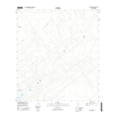
2016 Map of Arroyo Burro
USGS Topo · Published 2016About this map
Ramireno stands as the primary settlement in this stretch of Zapata County, located near the southern reaches of Falcon Reservoir. The landscape is defined by a dense network of intermittent drainages, or arroyos, that carve through the terrain toward the Rio Grande basin. These seasonal waterways, such as Arroyo San Francisco and Arroyo Javalina, reveal the complex natural drainage patterns essential to the local ecology.
Find a feature on this map
13 named features on this map. Tap any name to fly to it.
Don’t see what you’re looking for? This feature index may not catch every label — zoom into the map to look around manually.
Map Details
Editions of this 2016 Arroyo Burro Map
This is the sole edition of this map. No revisions or reprints were ever made.
Other maps of this area

1940 · Mogotes Hill
USGS Topo · 1:62,500

1942 · San Ygnacio
USGS Topo · 1:62,500

1949 · Mc Allen
USGS Topo · 1:250,000

1954 · McAllen
USGS Topo · 1:250,000

1956 · Mogotes Hill
USGS Topo · 1:62,500

1956 · Zapata
USGS Topo · 1:62,500

1956 · Arroyo Clareno
USGS Topo · 1:62,500

1956 · Laredo
USGS Topo · 1:250,000

1957 · Mc Allen
USGS Topo · 1:250,000

1962 · McAllen
USGS Topo · 1:250,000