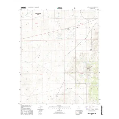
2017 Map of Arroyo Landavaso
USGS Topo · Published 2017About this map
Magdalena serves as the primary gateway to the high-desert landscapes of Socorro County, where the plains meet the foothills of the Cibola National Forest. The region is defined by a complex network of seasonal water drainage systems, most notably the Arroyo Landavaso and Arroyo Gato, which carve through the terrain. Evidence of ranching and land management is visible in the numerous named catchment basins such as Landavaso Reservoir, Stallings Tank, and the numbered earth tanks near Cerro Pelon.
Find a feature on this map
41 named features on this map. Tap any name to fly to it.
Don’t see what you’re looking for? This feature index may not catch every label — zoom into the map to look around manually.
Map Details
Editions of this 2017 Arroyo Landavaso Map
This is the sole edition of this map. No revisions or reprints were ever made.
Other maps of this area

1954 · Tularosa
USGS Topo · 1:250,000

1954 · Socorro
USGS Topo · 1:250,000

1958 · Socorro
USGS Topo · 1:250,000

1958 · Tularosa
USGS Topo · 1:250,000

1959 · Magdalena
USGS Topo · 1:62,500

1962 · Socorro
USGS Topo · 1:250,000

1963 · Arroyo Landavaso
USGS Topo · 1:24,000

1964 · Silver Hill
USGS Topo · 1:24,000

1964 · Tres Montosas
USGS Topo · 1:24,000

1964 · Gallinas Peak
USGS Topo · 1:24,000