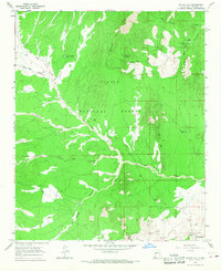
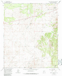
1964 Map of Silver Hill
USGS Topo · Published 1967About this map
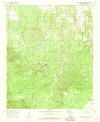
Silver Hill and the surrounding high desert of Socorro County are defined by a network of isolated homesteads and ephemeral water sources. This mid-1960s landscape, much of it protected within the Cibola National Forest, centers on the Bear Mountains where seasonal drainage systems like Council Rock Arroyo and Montosa Arroyo carve through the terrain. The survival of local ranching operations is evidenced by named improvements such as Threemile Ranch, Bear Springs Ranch, and Joe Well.
Find a feature on this map
23 named features on this map. Tap any name to fly to it.
Don’t see what you’re looking for? This feature index may not catch every label — zoom into the map to look around manually.
Map Details
Editions of this 1964 Silver Hill Map
2 editions found
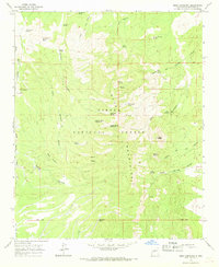
Other maps of this area

1954 · Socorro
USGS Topo · 1:250,000

1958 · Socorro
USGS Topo · 1:250,000
1959 · Magdalena
USGS Topo · 1:62,500
1959 · Riley
USGS Topo · 1:62,500

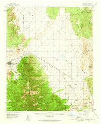
1962 · Socorro
USGS Topo · 1:250,000
1963 · Arroyo Landavaso
USGS Topo · 1:24,000
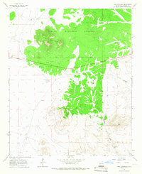
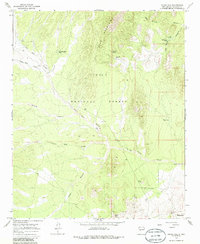
1964 · Tres Montosas
USGS Topo · 1:24,000
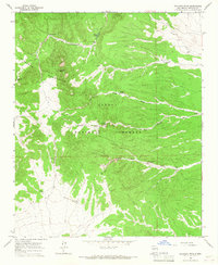
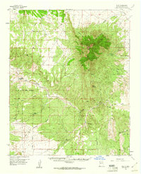
1964 · Gallinas Peak
USGS Topo · 1:24,000
1964 · Mesa Cencerro
USGS Topo · 1:24,000
1964 · Indian Spring Canyon
USGS Topo · 1:24,000