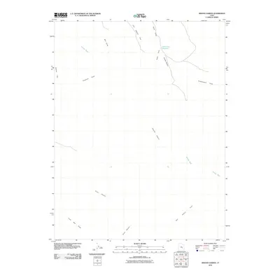
2010 Map of Arsons Garden
USGS Topo · Published 2010About this map
Arsons Garden and the striking geological formations of the San Rafael Reef dominate this Emery County landscape. The drainage patterns here reveal a complex system of seasonal washes and deep cuts, including Straight Wash, Greasewood Draw, and Crawford Draw. While much of the terrain is characterized by high flats such as Cliff Dweller Flat and Charley Flat, the south and central regions are defined by the erosive paths of Eardley Canyon and Ernie Canyon.
Find a feature on this map
13 named features on this map. Tap any name to fly to it.
Don’t see what you’re looking for? This feature index may not catch every label — zoom into the map to look around manually.
Map Details
Editions of this 2010 Arsons Garden Map
This is the sole edition of this map. No revisions or reprints were ever made.
Other maps of this area

1885 · San Rafael
USGS Topo · 1:250,000

1953 · Tidwell 2 SW
USGS Topo · 1:24,000

1953 · Tidwell 3 NW
USGS Topo · 1:24,000

1953 · Tidwell 2 NW
USGS Topo · 1:24,000

1953 · Temple Mtn
USGS Topo · 1:62,500

1954 · Stinking Spring Creek 1 SE
USGS Topo · 1:24,000

1954 · Stinking Spring Creek 1 NW
USGS Topo · 1:24,000

1954 · Stinking Spring Creek 4 NE
USGS Topo · 1:24,000

1954 · Stinking Spring Creek 4 NW
USGS Topo · 1:24,000

1954 · Stinking Spring Creek 1 NE
USGS Topo · 1:24,000