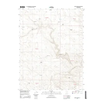
2014 Map of Arsons Garden
USGS Topo · Published 2014About this map
San Rafael Swell defines this portion of the high desert landscape, where the dramatic transition to the San Rafael Reef begins to take shape. The area is a complex network of geological formations and erosional features, including the aptly named Sinbad Country and the deep incisions of Eardley Canyon and Ernie Canyon. Localized water sources are sparse, represented by the ephemeral Hyde Draw and its associated Hyde Draw Reservoir.
Find a feature on this map
21 named features on this map. Tap any name to fly to it.
Don’t see what you’re looking for? This feature index may not catch every label — zoom into the map to look around manually.
Map Details
Editions of this 2014 Arsons Garden Map
This is the sole edition of this map. No revisions or reprints were ever made.
Other maps of this area

1885 · San Rafael
USGS Topo · 1:250,000

1953 · Tidwell 2 SW
USGS Topo · 1:24,000

1953 · Tidwell 3 NW
USGS Topo · 1:24,000

1953 · Tidwell 2 NW
USGS Topo · 1:24,000

1953 · Temple Mtn
USGS Topo · 1:62,500

1954 · Stinking Spring Creek 1 SE
USGS Topo · 1:24,000

1954 · Stinking Spring Creek 1 NW
USGS Topo · 1:24,000

1954 · Stinking Spring Creek 4 NE
USGS Topo · 1:24,000

1954 · Stinking Spring Creek 4 NW
USGS Topo · 1:24,000

1954 · Stinking Spring Creek 1 NE
USGS Topo · 1:24,000