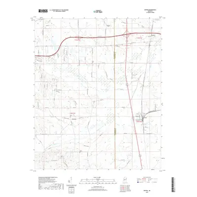
2018 Map of Artesia
USGS Topo · Published 2018About this map
Artesia serves as a central hub in this portion of the Black Prairie region, where the Oktibbeha Co and Lowndes Co border bisects the landscape. The settlement of Sessums and the community of Mayhew are connected by a network of rural routes such as Artesia Rd and Hickory Grove Rd S. The geography is defined by the winding paths of Sand Creek and Catalpa Creek, which drainage patterns have historically influenced local property lines and road placements.
Find a feature on this map
93 named features on this map. Tap any name to fly to it.
Don’t see what you’re looking for? This feature index may not catch every label — zoom into the map to look around manually.
Map Details
Editions of this 2018 Artesia Map
This is the sole edition of this map. No revisions or reprints were ever made.
Other maps of this area

1953 · West Point
USGS Topo · 1:250,000

1958 · West Point
USGS Topo · 1:250,000

1959 · Artesia
USGS Topo · 1:62,500

1959 · West Point
USGS Topo · 1:62,500

1959 · Pheba
USGS Topo · 1:62,500

1963 · West Point
USGS Topo · 1:250,000

1965 · Starkville
USGS Topo · 1:24,000

1965 · Bluff Lake
USGS Topo · 1:24,000

1982 · West Point
USGS Topo · 1:100,000

1984 · West Point
USGS Topo · 1:250,000