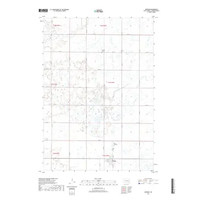
2017 Map of Artesian
USGS Topo · Published 2017About this map
Artesian serves as the primary hub in this portion of Sanborn County, where a grid of rural roads connects the surrounding prairie landscape. The map reveals a high density of religious and family history markers for the area, including the Norwegian Lutheran Cem, Lutheran Cem, Saint Anthony's Catholic Cem, and Diana Cem. These sites, scattered across the townships of T106N, T107N, and T108N, suggest the diverse immigrant and denominational roots of the local farming community.
Find a feature on this map
41 named features on this map. Tap any name to fly to it.
Don’t see what you’re looking for? This feature index may not catch every label — zoom into the map to look around manually.
Map Details
Editions of this 2017 Artesian Map
This is the sole edition of this map. No revisions or reprints were ever made.
Other maps of this area

1898 · Huron
USGS Topo · 1:125,000

1899 · Mitchell
USGS Topo · 1:125,000

1899 · Alexandria
USGS Topo · 1:125,000

1899 · De Smet
USGS Topo · 1:125,000

1953 · Huron
USGS Topo · 1:250,000

1953 · Watertown
USGS Topo · 1:250,000

1954 · Huron
USGS Topo · 1:250,000

1955 · Sioux Falls
USGS Topo · 1:250,000

1955 · Mitchell
USGS Topo · 1:250,000

1957 · Forestburg NE
USGS Topo · 1:24,000