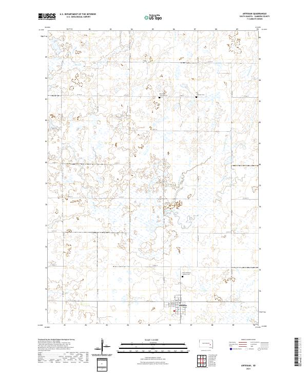
2021 Map of Artesian
USGS Topo · Published 2021About this map
Artesian occupies the southeastern corner of this Dakota prairie landscape, where the street grid of S Main St and W 1st Ave meets the rural agricultural landscape. The township is defined by a dense network of sectional roads and the winding paths of Redstone Cr and its western branch, West Redstone Creek. This survey highlights the deep-rooted cultural history of the area through its preserved burial grounds, including the Norwegian Lutheran Cem and Lutheran Cem in the north, and Saint Anthony's Catholic Cem further south. These sites, along with landmarks like Rifle Lake, provide essential points of reference for genealogists tracking family landholdings in Sanborn County. The drainage patterns of Jim Cr and the various tributaries of Redstone Creek illustrate the subtle hydrology of the region's agricultural plains.
Find a feature on this map
40 named features on this map. Tap any name to fly to it.
Don’t see what you’re looking for? This feature index may not catch every label — zoom into the map to look around manually.
Map Details
Editions of this 2021 Artesian Map
This is the sole edition of this map. No revisions or reprints were ever made.
Other maps of this area

1898 · Huron
USGS Topo · 1:125,000

1899 · Mitchell
USGS Topo · 1:125,000

1899 · Alexandria
USGS Topo · 1:125,000

1899 · De Smet
USGS Topo · 1:125,000

1953 · Huron
USGS Topo · 1:250,000

1953 · Watertown
USGS Topo · 1:250,000

1954 · Huron
USGS Topo · 1:250,000

1955 · Sioux Falls
USGS Topo · 1:250,000

1955 · Mitchell
USGS Topo · 1:250,000

1957 · Forestburg NE
USGS Topo · 1:24,000