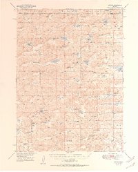
1950 Map of Arthur
USGS Topo · Published 1950About this map
The town of Arthur serves as the central hub of this Nebraska Sandhills landscape, where the settlement pattern is defined by widely spaced family operations like the Eymann Ranch and Reichenberg Ranch. Published at the midpoint of the century, the map details a unique topography of enclosed basins and valleys such as Nostrum Valley and Deans Valley, many of which hold seasonal or permanent bodies of water with colorful local names like Bean Soup Lake and Sand Puddin Lake. A network of one-room schoolhouses, including Meadow View Sch and School No 51, illustrates the rural educational infrastructure required to serve these remote ranching communities before the era of widespread consolidation. The reliance on groundwater is evident through the numerous flowing wells scattered across the terrain near features like Threemile Lake.
Find a feature on this map
50 named features on this map. Tap any name to fly to it.
Don’t see what you’re looking for? This feature index may not catch every label — zoom into the map to look around manually.
Map Details
Editions of this 1950 Arthur Map
2 editions found

Other maps of this area

1897 · Ogallala
USGS Topo · 1:125,000

1898 · Paxton
USGS Topo · 1:125,000

1900 · Ogallala
USGS Topo · 1:125,000

1901 · Paxton
USGS Topo · 1:125,000

1948 · Carr Lake
USGS Topo · 1:62,500

1948 · George Lake
USGS Topo · 1:62,500

1948 · Spring Valley
USGS Topo · 1:62,500

1949 · Arthur
USGS Topo · 1:62,500

1949 · Flats
USGS Topo · 1:62,500

1950 · Flats
USGS Topo · 1:62,500