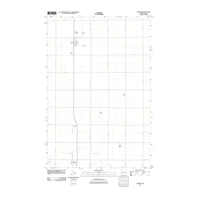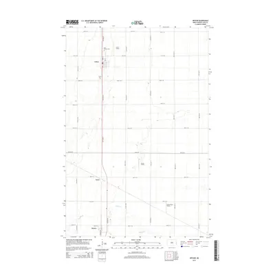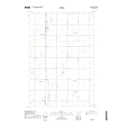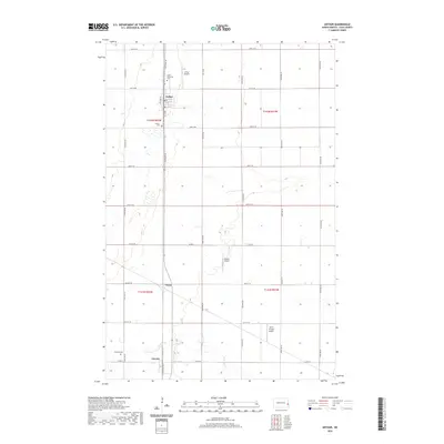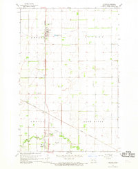
1967 Map of Arthur
USGS Topo · Published 1969About this map
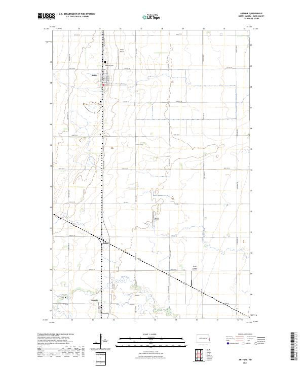
Arthur and Amenia anchor this agricultural landscape in Cass County, where the iron-straight tracks of the Great Northern railroad dictate the layout of the prairie settlements. Surveyed in the late 1960s, the map reveals a highly organized rural grid punctuated by essential infrastructure like the Water Tank in Arthur and a Radio Tower (WDAY) to the south. The Rush River meanders across the southern portion of the quadrangle, offering a stark contrast to the rigid section lines and providing the location for a Gaging Station. For those tracing local heritage, the map identifies the Good Samaritan Cem and Arthur Cem, alongside smaller transit markers like the local Landing Strip. The presence of the Sewage Disposal Pond and the specific placement of the Vance siding illustrate the practical evolution of these North Dakota townships during the mid-20th century.
Find a feature on this map
16 named features on this map. Tap any name to fly to it.
Don’t see what you’re looking for? This feature index may not catch every label — zoom into the map to look around manually.
Map Details
Editions of this 1967 Arthur Map
This is the sole edition of this map. No revisions or reprints were ever made.
Historical Maps of Arthur Through Time
6 maps found