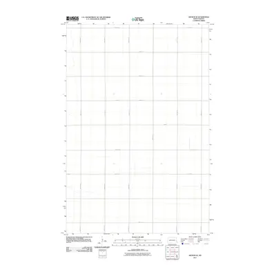
2011 Map of Arthur SE
USGS Topo · Published 2011About this map
Cass County agriculture and the rigid precision of the North Dakota section line grid define this landscape in the early 21st century. The map depicts a portion of Berlin Township organized around a systematic network of gravel and section roads, including 160th Ave SE and 165th Ave SE. The geography is characterized by its extreme flatness, where the road network serves as the primary structural element for the farming community. Intersections such as 24th St and 163rd Ave SE provide the focal points for local navigation across the expansive prairie fields. This survey by the U.S. Geological Survey records the rural infrastructure exactly as it stood at the turn of the decade, preserving the spatial layout of farmstead access and township boundaries.
Find a feature on this map
16 named features on this map. Tap any name to fly to it.
Don’t see what you’re looking for? This feature index may not catch every label — zoom into the map to look around manually.
Map Details
Editions of this 2011 Arthur SE Map
This is the sole edition of this map. No revisions or reprints were ever made.
Other maps of this area

1895 · Fargo
USGS Topo · 1:125,000

1895 · Casselton
USGS Topo · 1:125,000

1897 · Fargo
USGS Topo · 1:125,000

1897 · Casselton
USGS Topo · 1:125,000

1952 · Grand Forks
USGS Topo · 1:250,000

1953 · Fargo
USGS Topo · 1:250,000

1956 · Fargo
USGS Topo · 1:250,000

1956 · Grand Forks
USGS Topo · 1:250,000

1959 · West Fargo
USGS Topo · 1:24,000

1961 · Casselton
USGS Topo · 1:24,000