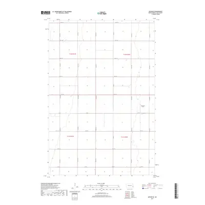
2017 Map of Arthur SE
USGS Topo · Published 2017About this map
The agricultural landscape of Berlin Township in Cass County is defined by its rigorous section-line grid, a hallmark of the Public Land Survey System in eastern North Dakota. This 2017 survey shows the transition between townships t142n r51w, t142n r50w, t141n r51w, and t141n r50w. The most distinct landmark in this rural expanse is the Walkinshaw Airport, situated along Co Rd 4 and 164th Ave SE. The territory is remarkably flat, with natural drainage features weaving through the strictly ordered road network. Major local thoroughfares such as Co Rd 32 and Co Rd 11 provide the primary connectivity across this section of the Red River Valley, serving the dispersed farmsteads that anchor the regional economy.
Find a feature on this map
20 named features on this map. Tap any name to fly to it.
Don’t see what you’re looking for? This feature index may not catch every label — zoom into the map to look around manually.
Map Details
Editions of this 2017 Arthur SE Map
This is the sole edition of this map. No revisions or reprints were ever made.
Other maps of this area

1895 · Fargo
USGS Topo · 1:125,000

1895 · Casselton
USGS Topo · 1:125,000

1897 · Fargo
USGS Topo · 1:125,000

1897 · Casselton
USGS Topo · 1:125,000

1952 · Grand Forks
USGS Topo · 1:250,000

1953 · Fargo
USGS Topo · 1:250,000

1956 · Fargo
USGS Topo · 1:250,000

1956 · Grand Forks
USGS Topo · 1:250,000

1959 · West Fargo
USGS Topo · 1:24,000

1961 · Casselton
USGS Topo · 1:24,000