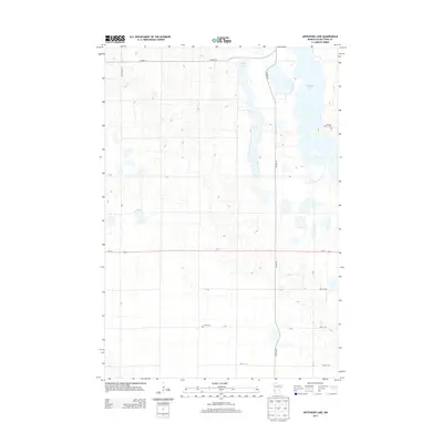
2013 Map of Artichoke Lake
USGS Topo · Published 2013About this map
Artichoke Lake and Long Lake dominate the eastern corridor of this Big Stone County landscape, illustrating the characteristic prairie pothole topography of western Minnesota. The map reveals a highly structured agricultural grid, where townships are partitioned by a network of local routes including Court Road 23 and 30th St SW. The orientation of the landscape is anchored by Us-12, which cuts a straight path across the central portion of the sheet. For those researching local history, the placement of the Akron Cem in the south-central region and the Johnson Family Cem on the eastern shore of Artichoke Lake provides specific points of interest for genealogical study. These small, rural burial grounds are key markers of the early settlement patterns that defined this prairie region long after the original land claims were established.
Find a feature on this map
17 named features on this map. Tap any name to fly to it.
Don’t see what you’re looking for? This feature index may not catch every label — zoom into the map to look around manually.
Map Details
Editions of this 2013 Artichoke Lake Map
This is the sole edition of this map. No revisions or reprints were ever made.
Other maps of this area

1953 · Ortonville
USGS Topo · 1:62,500

1953 · Bellingham
USGS Topo · 1:62,500

1953 · Milbank
USGS Topo · 1:250,000

1958 · Milbank
USGS Topo · 1:250,000

1958 · Correll
USGS Topo · 1:24,000

1958 · Appleton
USGS Topo · 1:24,000

1968 · Dry Wood Lake
USGS Topo · 1:24,000

1968 · Lake Oliver
USGS Topo · 1:24,000

1968 · Artichoke Lake NW
USGS Topo · 1:24,000

1968 · Artichoke Lake
USGS Topo · 1:24,000