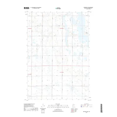
2019 Map of Artichoke Lake
USGS Topo · Published 2019About this map
Artichoke Lake dominates the eastern margin of this Big Stone County landscape, its irregular shoreline surrounded by a network of seasonal wetlands and prairie depressions. This 2019 survey documents a rural agricultural region defined by the precise grid of the Public Land Survey System, where section lines are traced by local routes like CO Hwy 14 and CO Rd 64. Significant for family researchers, the map identifies small, localized burial sites including Akron Cem near the center of the quadrangle and the Johnson Family Cem situated on the eastern banks of the lake. To the north, Long Lake sits within a cluster of smaller water bodies, illustrating the glacial topography characteristic of this part of Minnesota. The sparse distribution of named landmarks highlights the area's continued reliance on a pastoral economy and the enduring importance of its few established family and township landmarks.
Find a feature on this map
34 named features on this map. Tap any name to fly to it.
Don’t see what you’re looking for? This feature index may not catch every label — zoom into the map to look around manually.
Map Details
Editions of this 2019 Artichoke Lake Map
This is the sole edition of this map. No revisions or reprints were ever made.
Other maps of this area

1953 · Ortonville
USGS Topo · 1:62,500

1953 · Bellingham
USGS Topo · 1:62,500

1953 · Milbank
USGS Topo · 1:250,000

1958 · Milbank
USGS Topo · 1:250,000

1958 · Correll
USGS Topo · 1:24,000

1958 · Appleton
USGS Topo · 1:24,000

1968 · Dry Wood Lake
USGS Topo · 1:24,000

1968 · Lake Oliver
USGS Topo · 1:24,000

1968 · Artichoke Lake NW
USGS Topo · 1:24,000

1968 · Artichoke Lake
USGS Topo · 1:24,000