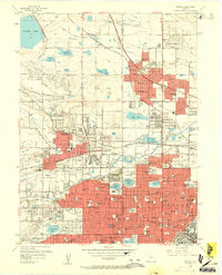
1957 Map of Arvada
USGS Topo · Published 1963About this map
Arvada and its surroundings in the mid-1950s showcase a rapidly expanding suburban frontier north of Denver. The landscape is defined by its sophisticated water management system, featuring the Farmers Highline Canal, Croke Canal, and Standley Lake, which supported the region's agricultural roots before the postwar housing boom. The arrival of the Denver Boulder Turnpike (Toll Road) signals a transition toward a commuter-driven economy, cutting across the terrain near the small settlement of Semper.
Find a feature on this map
185 named features on this map. Tap any name to fly to it.
Don’t see what you’re looking for? This feature index may not catch every label — zoom into the map to look around manually.
Map Details
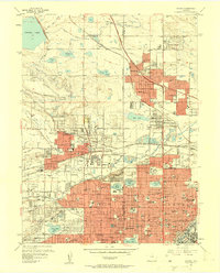
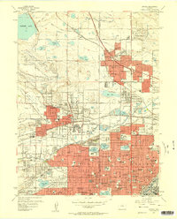
Editions of this 1957 Arvada Map
3 editions found
Other maps of this area

1890 · East Denver
USGS Topo · 1:125,000

1899 · West Denver
USGS Topo · 1:125,000

1935 · East Denver Nos. 3 and 4
USGS Topo · 1:48,000

1938 · Morrison
USGS Topo · 1:24,000

1938 · Derby
USGS Topo · 1:24,000

1939 · Golden
USGS Topo · 1:24,000

1940 · Englewood
USGS Topo · 1:31,680

1940 · Eastlake
USGS Topo · 1:31,680

1940 · Lafayette
USGS Topo · 1:31,680

1940 · Derby
USGS Topo · 1:31,680