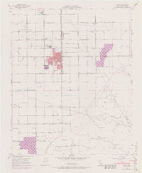
1955 Map of Arvin
USGS Topo · Published 1970About this map
Arvin and the surrounding agricultural landscape of the southern San Joaquin Valley are captured during a period of significant growth and industrial activity. The township is situated at the intersection of heavy petroleum production and large-scale farming, evidenced by the Mountain View Oil Field to the west and the expansive Di Giorgio properties to the north. Water management is central to this environment, with the East Side Canal and numerous Spreading Grounds supporting the arid region's orchards and fields.
Find a feature on this map
46 named features on this map. Tap any name to fly to it.
Don’t see what you’re looking for? This feature index may not catch every label — zoom into the map to look around manually.
Map Details
Editions of this 1955 Arvin Map
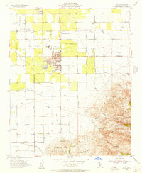
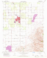
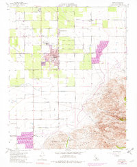
4 editions found
Other maps of this area

1914 · Caliente
USGS Topo · 1:125,000

1929 · Bena
USGS Topo · 1:31,680

1929 · Fairfax School
USGS Topo · 1:31,680

1930 · Weed Patch
USGS Topo · 1:31,680

1930 · Bear Mountain
USGS Topo · 1:31,680

1930 · Arvin
USGS Topo · 1:31,680

1931 · West of Tejon Hills
USGS Topo · 1:31,680

1931 · Edison
USGS Topo · 1:31,680

1931 · Tejon Hills
USGS Topo · 1:31,680

1932 · Bena
USGS Topo · 1:31,680