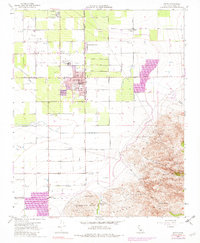
1955 Map of Arvin
USGS Topo · Published 1973About this map
The agricultural and industrial character of the southern San Joaquin Valley is clearly defined here, centered on the growing community of Arvin. A grid of irrigation and transport infrastructure, including the East Side Canal and the Atchison Topeka and Santa Fe railroad, supports the intensive cultivation surrounding Di Giorgio. Local educational landmarks like the Sierra Vista Sch and Haven Drive Sch anchor the residential blocks of Arvin, while the northern extent of the quadrangle is dominated by the Mountain View Oil Field. The landscape shifts dramatically in the southeast, where the flat valley floor meets the rising terrain of the Tehachapi Mountains and Comanche Point. This transition reveals several natural water sources such as Amargo Springs and Warm Spring, which stand in contrast to the engineered Spreading Grounds nearby.
Find a feature on this map
42 named features on this map. Tap any name to fly to it.
Don’t see what you’re looking for? This feature index may not catch every label — zoom into the map to look around manually.
Map Details
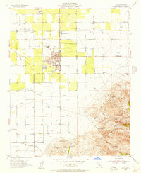
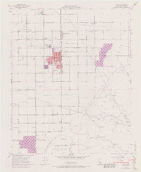
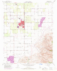
Editions of this 1955 Arvin Map
4 editions found
Other maps of this area

1914 · Caliente
USGS Topo · 1:125,000

1929 · Bena
USGS Topo · 1:31,680

1929 · Fairfax School
USGS Topo · 1:31,680

1930 · Weed Patch
USGS Topo · 1:31,680

1930 · Bear Mountain
USGS Topo · 1:31,680

1930 · Arvin
USGS Topo · 1:31,680

1931 · West of Tejon Hills
USGS Topo · 1:31,680

1931 · Edison
USGS Topo · 1:31,680

1931 · Tejon Hills
USGS Topo · 1:31,680

1932 · Bena
USGS Topo · 1:31,680