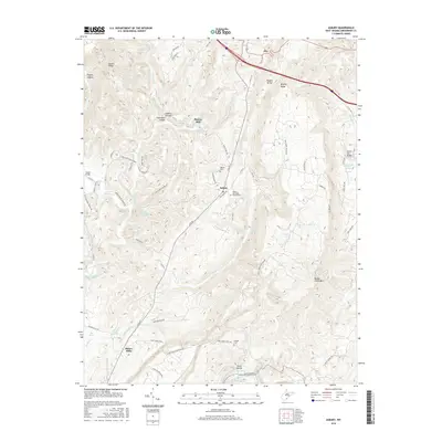
2016 Map of Asbury
USGS Topo · Published 2016About this map
Asbury sits at the heart of this Greenbrier County landscape, where the karst topography of the West Virginia highlands is revealed through numerous springs and subterranean features. The reliance on local water sources is evident in the naming of Morlunda Farms Spring, Piercys Cave Spring, and Big Spring. Industrial heritage is preserved in the locations of former water-powered sites such as Piercys Mill and Blaker Mills, while the crossing at Herns Mill Bridge connects the rural road network over Milligan Creek.
Find a feature on this map
81 named features on this map. Tap any name to fly to it.
Don’t see what you’re looking for? This feature index may not catch every label — zoom into the map to look around manually.
Map Details
Editions of this 2016 Asbury Map
This is the sole edition of this map. No revisions or reprints were ever made.
Other maps of this area

1887 · Hinton
USGS Topo · 1:125,000

1887 · Lewisburg
USGS Topo · 1:125,000

1891 · Lewisburg
USGS Topo · 1:125,000

1892 · Hinton
USGS Topo · 1:125,000

1921 · Alderson
USGS Topo · 1:48,000

1921 · White Sulphur Springs
USGS Topo · 1:48,000

1921 · Clintonville
USGS Topo · 1:48,000

1921 · Ronceverte
USGS Topo · 1:48,000

1923 · Clintonville
USGS Topo · 1:62,500

1923 · White Sulphur Springs
USGS Topo · 1:62,500