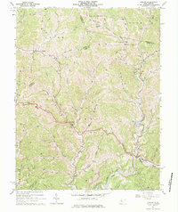
1964 Map of Asbury
USGS Topo · Published 1984About this map
The hills of West Virginia are dense with extraction activity in this mid-1960s study, where hundreds of locations for Oil Wells and Gas Wells dominate the topography across Union, Troy, and Cove districts. Small settlements like Auburn and Coxs Mills anchor the valleys, connected by winding routes like Pikecamp that follow the natural contours of Leading Creek and the Right Fork of Bone Creek.
Find a feature on this map
57 named features on this map. Tap any name to fly to it.
Don’t see what you’re looking for? This feature index may not catch every label — zoom into the map to look around manually.
Map Details
Editions of this 1964 Asbury Map
This is the sole edition of this map. No revisions or reprints were ever made.
Other maps of this area

1887 · Hinton
USGS Topo · 1:125,000

1887 · Lewisburg
USGS Topo · 1:125,000

1891 · Lewisburg
USGS Topo · 1:125,000

1892 · Hinton
USGS Topo · 1:125,000

1921 · Alderson
USGS Topo · 1:48,000

1921 · White Sulphur Springs
USGS Topo · 1:48,000

1921 · Clintonville
USGS Topo · 1:48,000

1921 · Ronceverte
USGS Topo · 1:48,000

1923 · Clintonville
USGS Topo · 1:62,500

1923 · White Sulphur Springs
USGS Topo · 1:62,500