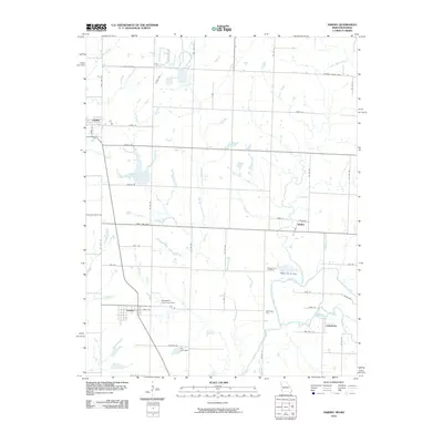
2010 Map of Asbury
USGS Topo · Published 2010About this map
Spring River and its various tributaries define the landscape of this border region where Missouri meets Kansas. Small communities such as Asbury, Georgia City, and Galesburg are situated among the winding paths of the North Fork Spring River and Blackberry Creek. The topography reveals a mix of agricultural utility and water management, evidenced by features like the Asbury Farms Dam and Blackberry Hay Farm Dam. Genealogy researchers can find the Georgia City Cemetery located north of the river, while the settlement of Medoc sits at the intersection of local routes near the center of the quadrangle. On the western edge, Opolis straddles State Line Ave, marking the jurisdictional boundary in an area characterized by scattered farmstead lakes and small-scale dams like Herr Lake Dam.
Find a feature on this map
52 named features on this map. Tap any name to fly to it.
Don’t see what you’re looking for? This feature index may not catch every label — zoom into the map to look around manually.
Map Details
Editions of this 2010 Asbury Map
This is the sole edition of this map. No revisions or reprints were ever made.
Other maps of this area

1886 · Joplin
USGS Topo · 1:125,000

1886 · Carthage
USGS Topo · 1:125,000

1894 · Joplin
USGS Topo · 1:125,000

1894 · Carthage
USGS Topo · 1:125,000

1945 · Pittsburg
USGS Topo · 1:62,500

1947 · Joplin
USGS Topo · 1:250,000

1947 · Pittsburg
USGS Topo · 1:62,500

1949 · Joplin
USGS Topo · 1:250,000

1950 · Pittsburg
USGS Topo · 1:62,500

1954 · Joplin
USGS Topo · 1:250,000