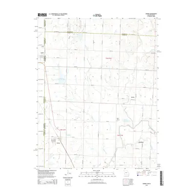
2015 Map of Asbury
USGS Topo · Published 2015About this map
Asbury serves as a central point of this modern topographic study, where the plains of Southwest Missouri meet the Kansas border. The landscape is defined by the winding course of the Spring River and its tributaries, including the North Fork Spring River and Blackberry Cr. This area maintains its rural character through scattered settlements like Galesburg, Medoc, and the border community of Opolis.
Find a feature on this map
73 named features on this map. Tap any name to fly to it.
Don’t see what you’re looking for? This feature index may not catch every label — zoom into the map to look around manually.
Map Details
Editions of this 2015 Asbury Map
This is the sole edition of this map. No revisions or reprints were ever made.
Other maps of this area

1886 · Joplin
USGS Topo · 1:125,000

1886 · Carthage
USGS Topo · 1:125,000

1894 · Joplin
USGS Topo · 1:125,000

1894 · Carthage
USGS Topo · 1:125,000

1945 · Pittsburg
USGS Topo · 1:62,500

1947 · Joplin
USGS Topo · 1:250,000

1947 · Pittsburg
USGS Topo · 1:62,500

1949 · Joplin
USGS Topo · 1:250,000

1950 · Pittsburg
USGS Topo · 1:62,500

1954 · Joplin
USGS Topo · 1:250,000