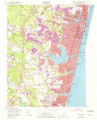
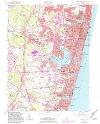
1954 Map of Asbury Park
USGS Topo · Published 1972About this map
Asbury Park and its surrounding coastal communities are captured here during a period of significant post-war expansion along the Jersey Shore. The landscape is defined by its complex hydrology, with the Shark River and its expansive Inlet serving as a focal point between Neptune City and Belmar. To the north, the residential patterns of Wanamassa, Interlaken, and Deal wrap around the fingers of Deal Lake, while the interior shows the influence of early transportation corridors like the Garden State Parkway and the Penn Central railroad.
Find a feature on this map
128 named features on this map. Tap any name to fly to it.
Don’t see what you’re looking for? This feature index may not catch every label — zoom into the map to look around manually.
Map Details
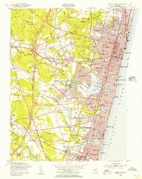
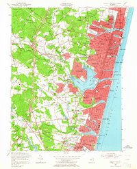
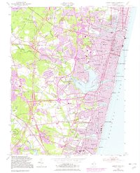
Editions of this 1954 Asbury Park Map
5 editions found
Other maps of this area

1888 · Asbury Park
USGS Topo · 1:62,500

1888 · Sandy Hook
USGS Topo · 1:62,500

1893 · Sandy Hook
USGS Topo · 1:62,500

1893 · Asbury Park
USGS Topo · 1:62,500

1901 · Sandy Hook
USGS Topo · 1:62,500

1901 · Asbury Park
USGS Topo · 1:62,500

1902 · Navesink
USGS Topo · 1:125,000

1918 · Sandy Hook
USGS Topo · 1:62,500

1919 · Asbury Park
USGS Topo · 1:62,500

1942 · Farmingdale
USGS Topo · 1:24,000