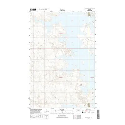
2017 Map of Ash Creek East
USGS Topo · Published 2017About this map
Fort Peck Lake dominates this 2017 landscape, where the intricate shoreline of the Dry Arm and Rock Creek Bay meets the high plains of Eastern Montana. Straddling the Garfield and McCone County line, the map documents a geography defined by its dramatic erosion patterns and water-cut drainages. The complex network of coulees, such as Jawbone Coulee, Bell Coulee, and CBC Spring Coulee, illustrates how seasonal runoff has carved deep into the terrain surrounding the massive reservoir. In the southeast, Daniels Point offers a prominent vantage over the Coyote Basin. Though largely uninhabited, the area is connected by rural routes like South Rock Creek Road, providing access to various creek forks including North Fork Box Creek, Cat Creek, and Lost Creek.
Find a feature on this map
22 named features on this map. Tap any name to fly to it.
Don’t see what you’re looking for? This feature index may not catch every label — zoom into the map to look around manually.
Map Details
Editions of this 2017 Ash Creek East Map
This is the sole edition of this map. No revisions or reprints were ever made.
Other maps of this area

1954 · Jordan
USGS Topo · 1:250,000

1956 · Jordan
USGS Topo · 1:250,000

1958 · Jordan
USGS Topo · 1:250,000

1964 · Jordan
USGS Topo · 1:250,000

1972 · Short Creek
USGS Topo · 1:24,000

1972 · Flat Creek School
USGS Topo · 1:24,000
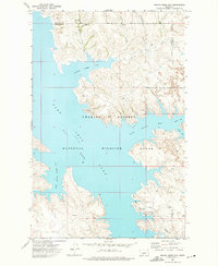
1972 · Spring Creek Bay
USGS Topo · 1:24,000
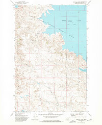
1972 · Norville Creek
USGS Topo · 1:24,000

1972 · Ash Creek East
USGS Topo · 1:24,000
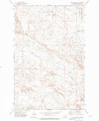
1972 · Ash Creek West
USGS Topo · 1:24,000