
1972 Map of Ash Creek East
USGS Topo · Published 1975About this map
Fort Peck Lake dominates this 1970s landscape, its sprawling waters reaching into the Dry Creek Arm and Rock Creek Bay. This area, situated along the border of Garfield Co and McCone Co, shows the complex topography of the Charles M Russell National Wildlife Range. The map documents a rugged drainage system where Cat Creek, Lost Creek, and Ash Creek meet the reservoir’s indented shoreline.
Find a feature on this map
15 named features on this map. Tap any name to fly to it.
Don’t see what you’re looking for? This feature index may not catch every label — zoom into the map to look around manually.
Map Details
Editions of this 1972 Ash Creek East Map
This is the sole edition of this map. No revisions or reprints were ever made.
Other maps of this area

1954 · Jordan
USGS Topo · 1:250,000

1956 · Jordan
USGS Topo · 1:250,000

1958 · Jordan
USGS Topo · 1:250,000

1964 · Jordan
USGS Topo · 1:250,000

1972 · Short Creek
USGS Topo · 1:24,000

1972 · Flat Creek School
USGS Topo · 1:24,000
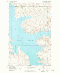
1972 · Spring Creek Bay
USGS Topo · 1:24,000
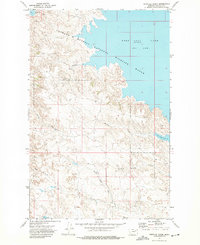
1972 · Norville Creek
USGS Topo · 1:24,000
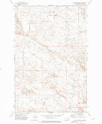
1972 · Ash Creek West
USGS Topo · 1:24,000
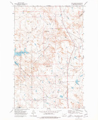
1973 · Sand Arroyo
USGS Topo · 1:24,000