
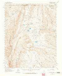
1962 Map of Ash Mountain
USGS Topo · Published 1964About this map
The Sangre de Cristo Mountains dominate this high-altitude 1962 landscape, situated within the expansive Beaubien and Miranda (Maxwell) Land Grant. This area of the Vermejo River headwaters reflects a transition from early industrial extraction to recreational land use. Remnants of mining activity are evident at the Van Lint Mine and Bartlett Mine, while the presence of the Penatlor Ruins suggests even earlier human occupation.
Find a feature on this map
61 named features on this map. Tap any name to fly to it.
Don’t see what you’re looking for? This feature index may not catch every label — zoom into the map to look around manually.
Map Details
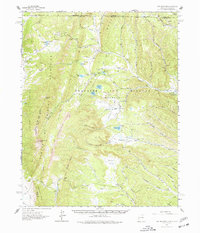
Editions of this 1962 Ash Mountain Map
3 editions found
Other maps of this area

1891 · Spanish Peaks
USGS Topo · 1:125,000

1893 · Spanish Peaks
USGS Topo · 1:125,000

1895 · Spanish Peaks
USGS Topo · 1:125,000

1897 · Spanish Peaks
USGS Topo · 1:125,000

1900 · Spanish Peaks
USGS Topo · 1:125,000

1954 · Raton
USGS Topo · 1:250,000

1954 · Trinidad
USGS Topo · 1:250,000

1955 · Cimarron
USGS Topo · 1:62,500

1955 · Ute Park
USGS Topo · 1:62,500

1955 · Trinidad
USGS Topo · 1:250,000