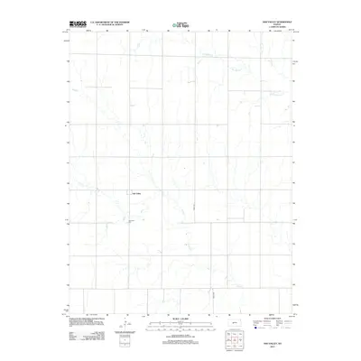
2012 Map of Ash Valley
USGS Topo · Published 2012About this map
Ash Valley serves as the central focal point of this Pawnee County landscape, a quiet crossroads within the expansive agricultural plains of central Kansas. The layout reveals a region defined by its sections and townships, where the human footprint is primarily marked by a grid of rural roads like Timken Rd and isolated homesteads. This 2012 survey illustrates the vital role of local drainage systems in an arid environment, notably the winding paths of Dry Walnut Creek and Ash Creek. Genealogists and local historians will find the location of the Ash Valley Cemetery particularly significant, as it remains a permanent landmark for the families that settled this portion of the Kansas prairie. The map conveys a sense of the wide-open spaces characteristic of the Great Plains, where community identity is centered on small, resilient hubs and the natural flow of seasonal watercourses.
Find a feature on this map
5 named features on this map. Tap any name to fly to it.
Don’t see what you’re looking for? This feature index may not catch every label — zoom into the map to look around manually.
Map Details
Editions of this 2012 Ash Valley Map
This is the sole edition of this map. No revisions or reprints were ever made.
Other maps of this area

1889 · Larned
USGS Topo · 1:125,000

1891 · Larned
USGS Topo · 1:125,000

1955 · Great Bend
USGS Topo · 1:250,000

1957 · Great Bend
USGS Topo · 1:250,000

1958 · Great Bend
USGS Topo · 1:250,000
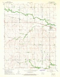
1965 · Albert
USGS Topo · 1:24,000

1966 · Rush Center
USGS Topo · 1:24,000
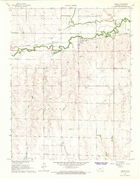
1966 · Timken
USGS Topo · 1:24,000

1970 · Fort Larned
USGS Topo · 1:24,000
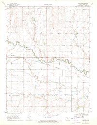
1970 · Sanford
USGS Topo · 1:24,000