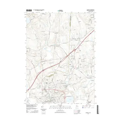
2015 Map of Ashaway
USGS Topo · Published 2015About this map
The Pawcatuck River meanders across the border of Connecticut and Rhode Island, serving as a historic throughline for the settlements of Westerly, Stillmanville, and Pawcatuck. This 2015 survey reveals a landscape deeply intertwined with its colonial and genealogical roots, evidenced by the high density of family burial plots and historic markers like the Friends Burial Ground and Meeting House Bridge. The eastern portion is dominated by the town of Hopkinton and the village of Ashaway, where the Ashaway River flows into the Pawcatuck.
Find a feature on this map
194 named features on this map. Tap any name to fly to it.
Don’t see what you’re looking for? This feature index may not catch every label — zoom into the map to look around manually.
Map Details
Editions of this 2015 Ashaway Map
This is the sole edition of this map. No revisions or reprints were ever made.
Other maps of this area

1889 · Stonington
USGS Topo · 1:62,500

1889 · Charlestown
USGS Topo · 1:62,500

1889 · Moosup
USGS Topo · 1:62,500

1890 · Kent
USGS Topo · 1:62,500

1893 · Moosup
USGS Topo · 1:62,500

1893 · Stonington
USGS Topo · 1:62,500

1894 · Kent
USGS Topo · 1:62,500

1919 · Charlestown
USGS Topo · 1:62,500

1920 · Moosup
USGS Topo · 1:62,500

1921 · Charlestown
USGS Topo · 1:62,500